q4WsCvLajdd4
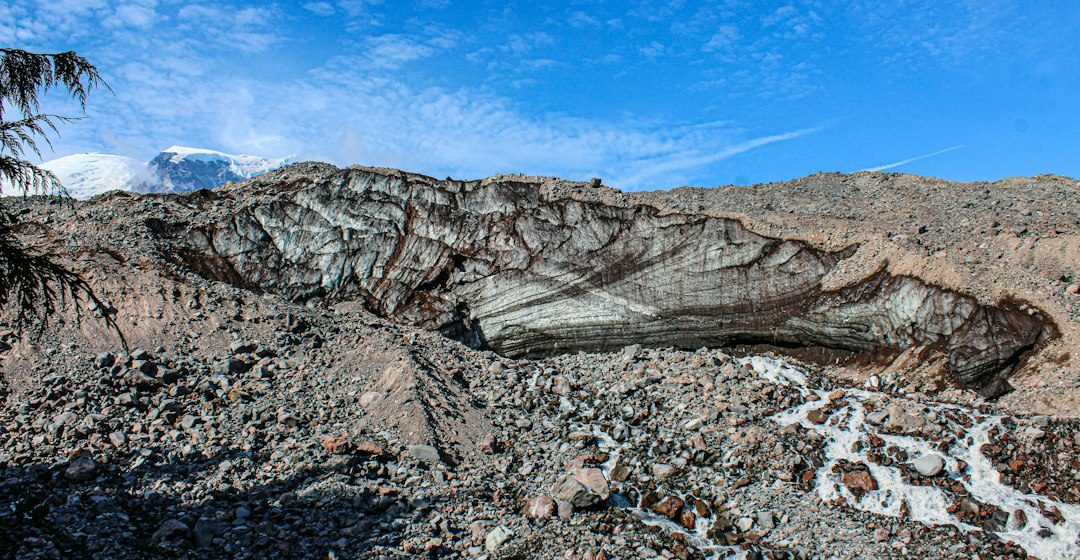
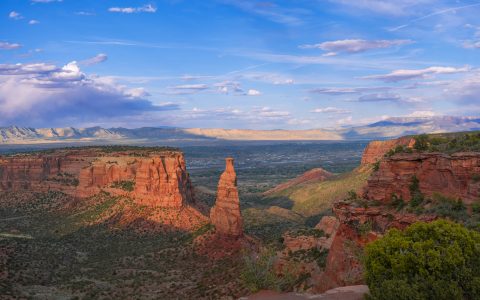
The dramatic rock towers of Arizona’s Chiricahua region are associated with thick deposits of volcanic ash that cooled and welded together. Later weathering and erosion separated the rock into columns, pinnacles and balanced-looking forms.
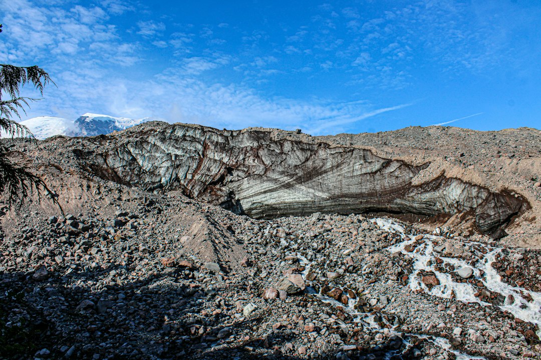
The geological process
Hot ash-flow deposits can compact and weld as glassy particles fuse under heat and pressure. Cooling joints and later fractures create pathways for weathering, while differences in cementation and exposure influence which blocks remain standing.
How researchers investigate it
Geologists identify welded tuff through texture, mineral fragments, flattened pumice and field relationships. Mapping the deposit and dating associated volcanic units helps place the formations within the region’s eruptive history.
What to look for in the landscape
Observe the shape and spacing of fractures, the variation in rock strength and the relationship between towers and surrounding slopes. Use designated trails and viewpoints to avoid damaging fragile formations.
Limits and interpretation
The towers were not carved by one sudden event. Their shape reflects an initial volcanic deposit followed by long periods of cooling, fracturing, weathering and erosion.
Why the region or feature matters
Chiricahua demonstrates how explosive volcanism can create thick rock deposits that later become distinctive landscapes. It links volcanic processes with the slower work of erosion.
Connecting local evidence to regional history
A single exposure rarely tells the whole story. Geologists compare nearby outcrops, topographic patterns and mapped rock units to determine whether a feature is local or part of a wider geological structure. This regional approach is especially important where younger soil, vegetation or sediment hides the bedrock contact.
A careful approach to geological interpretation
Descriptions should begin with what can be observed: rock type, grain size, layering, fractures, fossils and the relationship between units. Interpretations are stronger when they explain several observations at once and acknowledge evidence that does not fit the preferred explanation.
Further learning
Regional geological surveys, national park geology pages and university field guides provide maps and case studies for comparing this feature with other examples. Check the scale and date of each map, and distinguish a well-established geological principle from an interpretation that remains under discussion.
Estimated reading time: 4–6 minutes.