q4WsCvLajdd4
A successful geology field trip is less about collecting impressive-looking rocks and more about learning to ask useful questions. Landscapes preserve evidence of deposition, deformation, weathering and erosion. With a notebook and a systematic approach, even a short visit can become a practical lesson in how Earth changes through time.
1. Start with the shape of the land
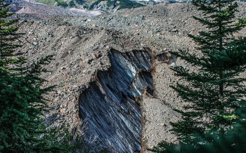
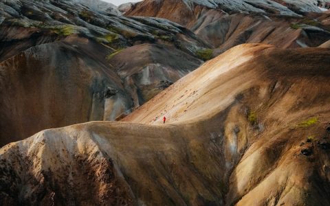
Before focusing on individual stones, take in the wider landscape. Note ridges, valleys, cliffs, slopes, river terraces and changes in vegetation. Landforms often provide the first clues about the processes that shaped an area. A steep-sided valley may reflect river incision, glacial erosion or structural control by faults and resistant rock. The shape alone rarely proves one explanation, but it helps generate hypotheses to test at closer range.
2. Identify the main rock units
Look for changes in colour, grain size, texture and resistance to weathering. Sandstone commonly contains visible sand-sized grains, while mudstone is usually much finer. Limestone may react with dilute acid in supervised teaching settings, but visual identification should always be supported by other evidence. Record what you can actually see before assigning a rock name.
Photographs are useful when they include scale. Place a ruler or notebook beside an accessible exposure, without damaging the outcrop, and photograph both the overall setting and a close view. A note such as “fine-grained, grey, thinly layered” is more useful than writing “ordinary rock”.
3. Look for bedding and structures
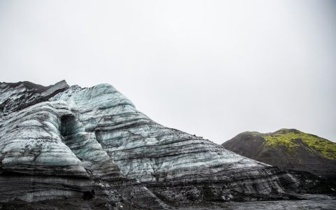
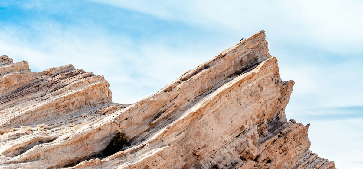
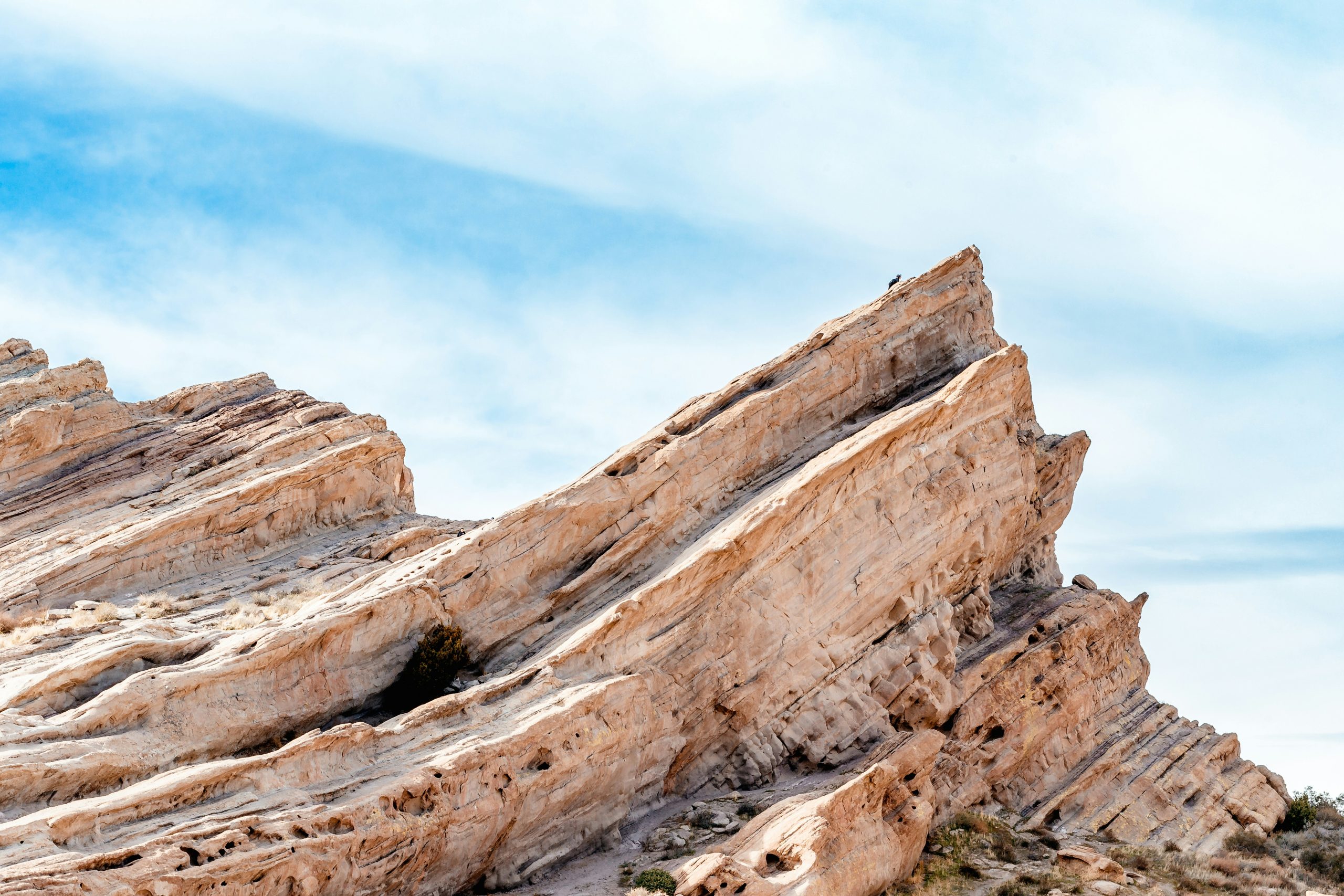
Many sedimentary rocks preserve bedding: layers formed as sediment accumulated. Measure or estimate the direction and angle of bedding where it is safe and permitted. Notice whether layers are horizontal, tilted, folded or broken by fractures. Cross-bedding, ripple marks and graded beds can reveal aspects of the environment in which sediment moved and settled.
Structures should be described carefully. A line across a rock face may be a joint, a bedding plane, a mineral vein or a fault. Sketch the feature and its relationship to nearby layers. Interpretation becomes stronger when several observations support the same explanation.
4. Search for evidence of past environments
Grain size, sedimentary structures and fossils can help reconstruct ancient environments. Rounded pebbles may indicate transport, while fine laminated sediment can form in quieter water. Fossils may show that an area once supported marine life, even if the exposure is now far inland. None of these clues should be interpreted in isolation: the strongest environmental reconstruction combines multiple lines of evidence.
5. Connect the outcrop to the geological map
A field observation becomes more meaningful when placed in its regional context. Compare the rocks you see with a geological map, noting unit boundaries, faults and the orientation of strata. Ask why one rock type forms a ridge while another forms a valley. Differences in resistance, structure and drainage can explain much of the landscape’s pattern.
6. Keep a clear, responsible field record
Record the date, location, weather, exposure conditions, sketches, photographs and uncertainties. Follow site rules, stay on permitted paths, avoid unstable slopes and never enter restricted areas. Leave specimens and fossils where they are unless collecting is explicitly permitted by the land manager and relevant regulations. A good field record preserves information without damaging the place being studied.
From observation to explanation
At the end of the visit, write two or three possible explanations for the landscape and list the evidence for each. Which observations are strongest? What remains uncertain? What additional measurement or map would help? This process—observe, describe, interpret and test—is the foundation of field geology.
Field trips are valuable because they make geology tangible. A map becomes a real landscape, a rock name becomes a visible texture, and geological time becomes a sequence of events recorded in layers and structures. The aim is not to identify everything instantly; it is to leave with better questions and a more defensible interpretation.
Further reading: British Geological Survey — geological maps and introductory Earth science resources.