q4WsCvLajdd4
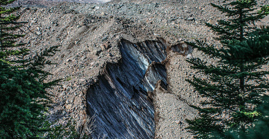
A rock sample without reliable location and context loses much of its scientific value. Provenance links a specimen to the outcrop, geological unit and field observations that explain why it was collected.
The science behind the subject
Sample identifiers should connect the physical specimen to a notebook entry, map position, date and collection purpose. If a sample is split for several analyses, each subsample needs a traceable relationship to the original material.
What the evidence can tell us
Research teams maintain sample registers, photographs, coordinate records and chain-of-custody notes where appropriate. These records allow laboratory results to be checked against the original field setting and help prevent accidental mixing.
A practical way to observe it
Use a unique code, write labels in durable formats and photograph the sample in place before any permitted collection. Record orientation or structural position when those details affect the interpretation.
Important limits and misconceptions
A coordinate alone may not describe the exact bed or exposure, particularly where several units occur close together. Record uncertainty and access limitations rather than implying greater precision than the field method supports.
Why this matters
Good provenance makes geological data reusable. It improves teaching collections, laboratory research and regional comparisons because every measurement can be traced back to a clearly described source.
Putting local observations into context
A strong interpretation combines several independent clues rather than relying on one striking feature. Geological maps show how an exposure relates to the wider landscape, while mineral and sediment analysis can test explanations that are not visible to the eye. The best field notes make clear which details were measured, which were estimated and which remain uncertain.
From evidence to explanation
Geologists often compare competing explanations before settling on an interpretation. A feature may have more than one possible origin, and new measurements can change the preferred model. This is not a weakness: it is how Earth science improves, by making claims testable and revising them when additional evidence becomes available.
Questions for further study
Readers can extend this topic by comparing examples from different climates and tectonic settings. Ask whether the same process produces different landforms under different conditions, and whether a similar-looking feature could have formed by another mechanism. Regional geological surveys and university teaching resources provide useful maps and case studies.
Estimated reading time: 4–6 minutes.