q4WsCvLajdd4
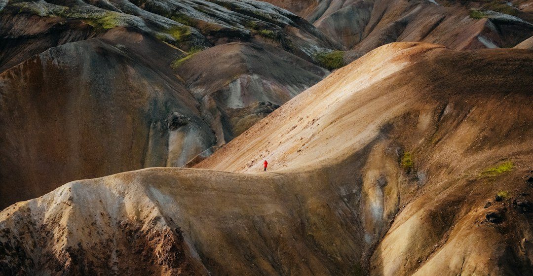
Coastal fieldwork brings together sedimentology, geomorphology and ocean processes. Cliffs, beaches, dunes and tidal platforms preserve evidence of changing wave energy, sediment supply, rock strength and sea-level history.
The science behind the subject
Waves erode exposed rock, transport sediment alongshore and build depositional features where energy decreases. Rock structure influences cliff shape, while joints and bedding planes can guide weathering and the development of notches or platforms.
What the evidence can tell us
Geologists record cliff height, bedding, fracture patterns, beach sediment and the position of shoreline features. Historical imagery and repeat surveys help distinguish seasonal beach change from longer-term coastal retreat.
A practical way to observe it
Plan observations around tide tables and access guidance. Record weather and wave conditions, remain away from unstable cliff edges and compare features from safe viewpoints rather than entering restricted areas.
Important limits and misconceptions
A beach profile changes through the year, and a cliff face may conceal earlier stages of retreat. Interpreting coastal change requires repeated observations and knowledge of local sediment sources.
Why this matters
Coastal field skills are useful for understanding erosion, habitat change and infrastructure planning. They show how geological structure and marine energy combine to create a moving shoreline.
Putting local observations into context
A strong interpretation combines several independent clues rather than relying on one striking feature. Geological maps show how an exposure relates to the wider landscape, while mineral and sediment analysis can test explanations that are not visible to the eye. The best field notes make clear which details were measured, which were estimated and which remain uncertain.
From evidence to explanation
Geologists often compare competing explanations before settling on an interpretation. A feature may have more than one possible origin, and new measurements can change the preferred model. This is not a weakness: it is how Earth science improves, by making claims testable and revising them when additional evidence becomes available.
Questions for further study
Readers can extend this topic by comparing examples from different climates and tectonic settings. Ask whether the same process produces different landforms under different conditions, and whether a similar-looking feature could have formed by another mechanism. Regional geological surveys and university teaching resources provide useful maps and case studies.
Estimated reading time: 4–6 minutes.