q4WsCvLajdd4
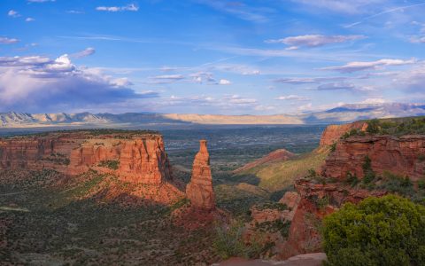
The San Juan volcanic region of southwestern Colorado contains a complex record of volcanic activity, including large caldera systems and younger volcanic rocks. Its landscape preserves evidence of magma generation, eruption, collapse and later erosion.
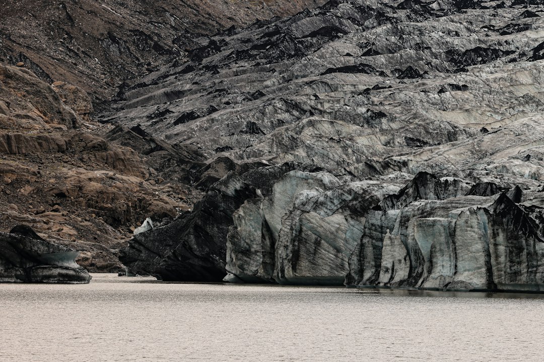
The geological process
Repeated magma movement can build volcanic centres and produce extensive ash-flow deposits. When large magma volumes are withdrawn, parts of the volcanic roof may collapse, creating calderas. Later intrusions and erosion expose deeper parts of the volcanic system.
How researchers investigate it
Geologists map lava flows, welded tuffs, ring structures and intrusive rocks. Radiometric dating and geochemical analysis help distinguish separate eruptive episodes and trace how magma compositions changed through time.
What to look for in the landscape
Compare the distribution of volcanic deposits with the shape of surrounding mountains and valleys. Field sketches should show contacts and the relative positions of units, while maps help connect scattered exposures.
Limits and interpretation
Volcanic landscapes can be heavily eroded, and similar-looking tuffs may belong to different eruptions. A reliable history requires dating and careful mapping rather than relying on colour or cliff shape alone.
Why the region or feature matters
The San Juan region offers insight into continental volcanism and the long-term evolution of magma systems. Its rocks help explain how volcanic provinces are built, modified and exposed by erosion.
Connecting local evidence to regional history
A single exposure rarely tells the whole story. Geologists compare nearby outcrops, topographic patterns and mapped rock units to determine whether a feature is local or part of a wider geological structure. This regional approach is especially important where younger soil, vegetation or sediment hides the bedrock contact.
A careful approach to geological interpretation
Descriptions should begin with what can be observed: rock type, grain size, layering, fractures, fossils and the relationship between units. Interpretations are stronger when they explain several observations at once and acknowledge evidence that does not fit the preferred explanation.
Further learning
Regional geological surveys, national park geology pages and university field guides provide maps and case studies for comparing this feature with other examples. Check the scale and date of each map, and distinguish a well-established geological principle from an interpretation that remains under discussion.
Estimated reading time: 4–6 minutes.