q4WsCvLajdd4
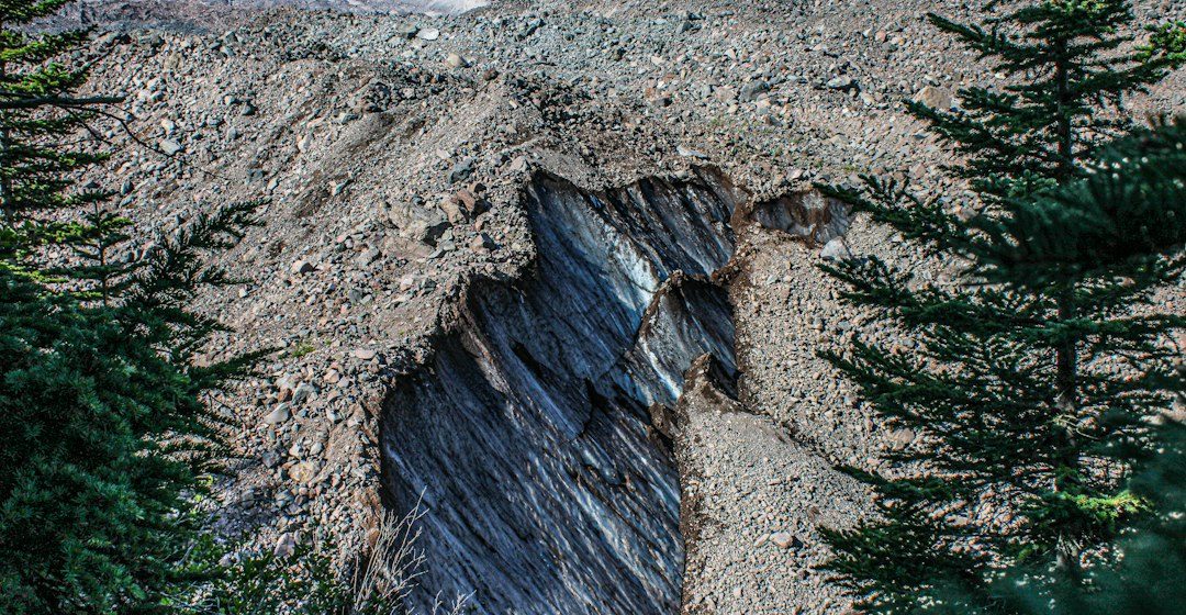
Petrified wood forms when buried plant material is gradually mineralised, preserving aspects of the original wood structure. It is a fossil record of ancient ecosystems and of the groundwater chemistry that acted after burial.
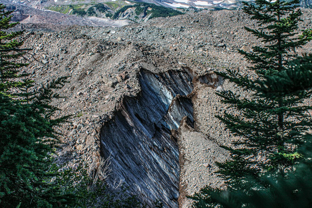
The geological process
Silica-rich groundwater can enter pores and cell spaces, depositing minerals as the organic material decays. In some examples, microscopic structures are preserved in detail; in others, replacement and recrystallisation obscure the original anatomy.
How researchers investigate it
Palaeobotanists examine growth rings, cell patterns, mineral composition and the sedimentary unit containing the fossil. Thin sections and imaging techniques help distinguish preserved cellular structure from later mineral veins or fractures.
What to look for in the landscape
In the field, record the fossil’s position within the sedimentary layer and note nearby plant remains, grain size and sedimentary structures. Follow collecting rules because many fossil sites are protected.
Limits and interpretation
Petrified wood is not simply wood turned instantly into stone. Mineralisation can involve several stages, and the final appearance depends on burial conditions, groundwater chemistry and later geological alteration.
Why the region or feature matters
These fossils connect palaeontology with sedimentology and geochemistry. They can reveal ancient vegetation, climate conditions and the post-burial processes that preserve biological material.
Connecting local evidence to regional history
A single exposure rarely tells the whole story. Geologists compare nearby outcrops, topographic patterns and mapped rock units to determine whether a feature is local or part of a wider geological structure. This regional approach is especially important where younger soil, vegetation or sediment hides the bedrock contact.
A careful approach to geological interpretation
Descriptions should begin with what can be observed: rock type, grain size, layering, fractures, fossils and the relationship between units. Interpretations are stronger when they explain several observations at once and acknowledge evidence that does not fit the preferred explanation.
Further learning
Regional geological surveys, national park geology pages and university field guides provide maps and case studies for comparing this feature with other examples. Check the scale and date of each map, and distinguish a well-established geological principle from an interpretation that remains under discussion.
Estimated reading time: 4–6 minutes.