q4WsCvLajdd4
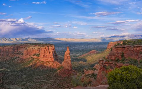
The Basin and Range Province is recognised by alternating mountain ranges and broad valleys. Much of this pattern developed as the crust stretched and broke along normal faults, allowing some blocks to rise relative to neighbouring basins.
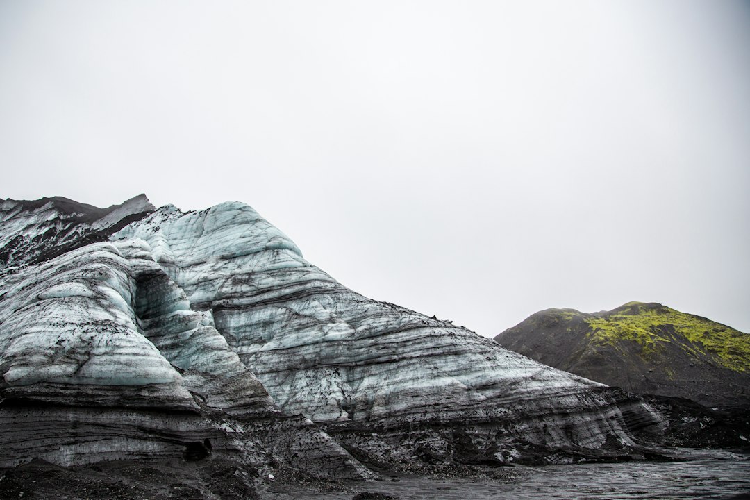
The geological process
When the crust extends, normal faults accommodate movement and create tilted blocks. Erosion removes material from the uplifted ranges, while rivers and alluvial fans carry sediment into adjacent basins. Volcanic rocks and older structures add complexity to the pattern.
How researchers investigate it
Geologists use topographic maps, fault measurements, sedimentary basin studies and geophysical surveys to reconstruct the province. Dating volcanic layers and basin deposits helps establish when extension occurred in different areas.
What to look for in the landscape
Compare a mountain front with the fan-shaped deposits at its base. Look for tilted strata, fault scarps and changes in sediment size, but use regional mapping to test whether a feature belongs to the same fault system.
Limits and interpretation
Not every range-and-valley pattern formed at the same time or by one mechanism. Earlier tectonic structures can be reactivated, and local erosion may exaggerate the appearance of fault-block topography.
Why the region or feature matters
The province shows how tectonics and erosion work together. Its basins store sediment and groundwater, while its mountain fronts preserve evidence of crustal extension over millions of years.
Connecting local evidence to regional history
A single exposure rarely tells the whole story. Geologists compare nearby outcrops, topographic patterns and mapped rock units to determine whether a feature is local or part of a wider geological structure. This regional approach is especially important where younger soil, vegetation or sediment hides the bedrock contact.
A careful approach to geological interpretation
Descriptions should begin with what can be observed: rock type, grain size, layering, fractures, fossils and the relationship between units. Interpretations are stronger when they explain several observations at once and acknowledge evidence that does not fit the preferred explanation.
Further learning
Regional geological surveys, national park geology pages and university field guides provide maps and case studies for comparing this feature with other examples. Check the scale and date of each map, and distinguish a well-established geological principle from an interpretation that remains under discussion.
Estimated reading time: 4–6 minutes.