q4WsCvLajdd4
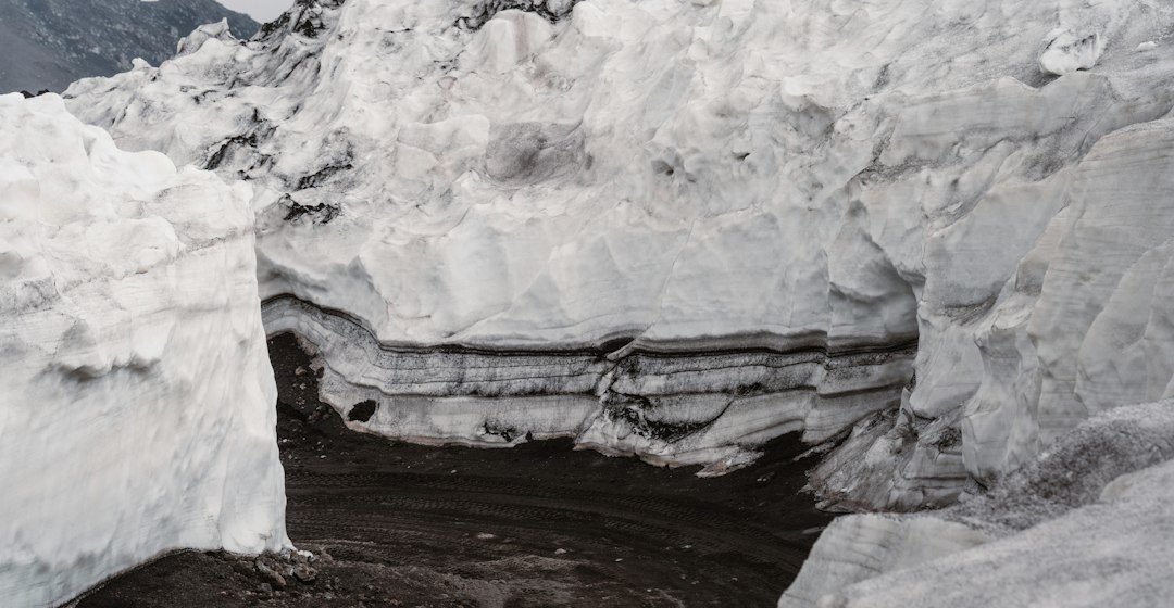
Salt flats develop where water collects in a closed basin and evaporates, leaving dissolved minerals behind. Death Valley’s playa surfaces preserve a changing record of inflow, evaporation, sediment supply and groundwater movement.
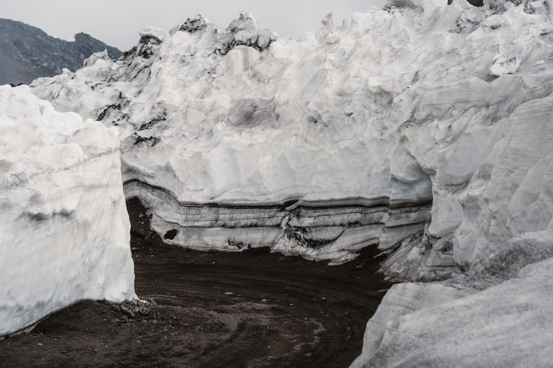
The geological process
As water evaporates, dissolved ions become concentrated and minerals precipitate in a sequence controlled by solubility. Fine mud, salt crusts and shallow groundwater can interact to create polygons, ridges and patterned surfaces that change after rare floods.
How researchers investigate it
Geologists analyse mineral crusts, sediment layers, surface cracks and groundwater chemistry. Satellite imagery and repeat field surveys help track where water ponds, where salts accumulate and how the playa surface is reworked.
What to look for in the landscape
A safe field description notes crust texture, polygon size, sediment colour and evidence of recent water. Conditions can change rapidly, so observations should be made from permitted areas and with local access guidance.
Limits and interpretation
A salt polygon is not a permanent feature or a simple indicator of one water depth. Wind, groundwater, temperature and repeated wetting and drying can alter the surface after each event.
Why the region or feature matters
Salt flats reveal the chemistry of closed-basin hydrology. Their sediments help geologists understand evaporation, mineral precipitation and the environmental history of arid regions.
Connecting local evidence to regional history
A single exposure rarely tells the whole story. Geologists compare nearby outcrops, topographic patterns and mapped rock units to determine whether a feature is local or part of a wider geological structure. This regional approach is especially important where younger soil, vegetation or sediment hides the bedrock contact.
A careful approach to geological interpretation
Descriptions should begin with what can be observed: rock type, grain size, layering, fractures, fossils and the relationship between units. Interpretations are stronger when they explain several observations at once and acknowledge evidence that does not fit the preferred explanation.
Further learning
Regional geological surveys, national park geology pages and university field guides provide maps and case studies for comparing this feature with other examples. Check the scale and date of each map, and distinguish a well-established geological principle from an interpretation that remains under discussion.
Estimated reading time: 4–6 minutes.