q4WsCvLajdd4
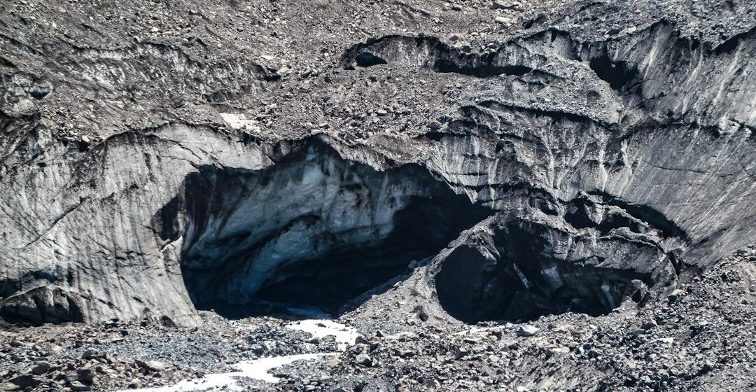
Faults are fractures along which rocks have moved relative to one another. They record deformation, influence groundwater pathways and help explain the distribution of earthquakes and mountain ranges.
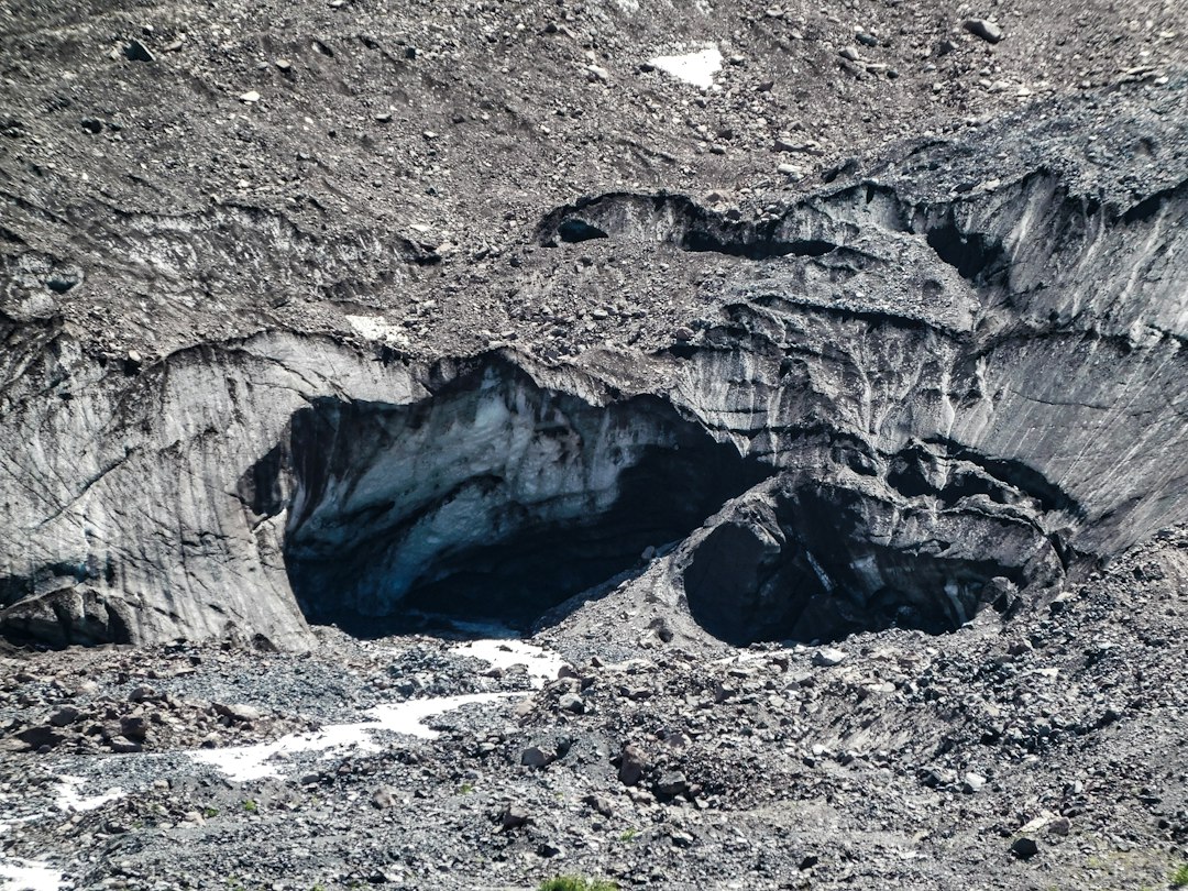
The geological process
Fault movement may be mainly vertical, horizontal or oblique. Normal faults commonly form under extension, reverse and thrust faults under compression, and strike-slip faults accommodate lateral motion. Joints are fractures without clear displacement.
How researchers investigate it
Geologists examine offset layers, slickensides, fault gouge, fracture patterns and the relationship between structures and surrounding units. Geophysical data and earthquake records add information about structures hidden underground.
What to look for in the landscape
A field description should record the orientation of the fault plane, the direction of visible displacement and the materials along the contact. Sketch both sides rather than relying on a close-up photograph.
Limits and interpretation
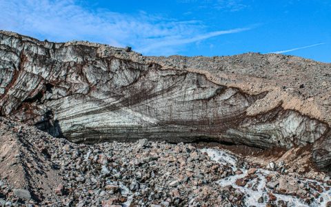
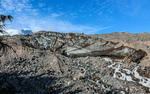
A line on a rock face is not automatically a fault. Evidence of displacement is needed, and a small outcrop may not reveal the full geometry or activity history of a regional structure.
Why the region or feature matters
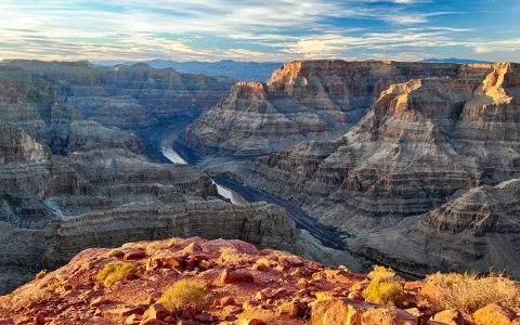
Faults connect surface geology with tectonic processes and natural hazards. Mapping them improves understanding of landscape evolution, groundwater flow and the geological framework of a region.
Connecting local evidence to regional history
A single exposure rarely tells the whole story. Geologists compare nearby outcrops, topographic patterns and mapped rock units to determine whether a feature is local or part of a wider geological structure. This regional approach is especially important where younger soil, vegetation or sediment hides the bedrock contact.
A careful approach to geological interpretation
Descriptions should begin with what can be observed: rock type, grain size, layering, fractures, fossils and the relationship between units. Interpretations are stronger when they explain several observations at once and acknowledge evidence that does not fit the preferred explanation.
Further learning
Regional geological surveys, national park geology pages and university field guides provide maps and case studies for comparing this feature with other examples. Check the scale and date of each map, and distinguish a well-established geological principle from an interpretation that remains under discussion.
Estimated reading time: 4–6 minutes.