q4WsCvLajdd4
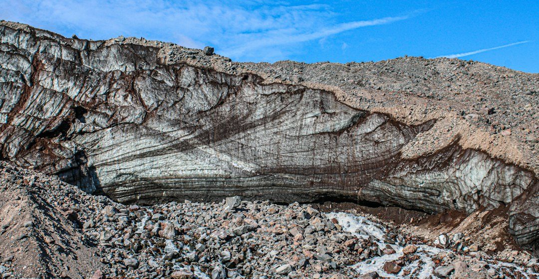
An unconformity is a surface that represents a gap in the geological record. It can form when deposition stops, older rocks are eroded, or both processes occur before younger sediments accumulate above the boundary.
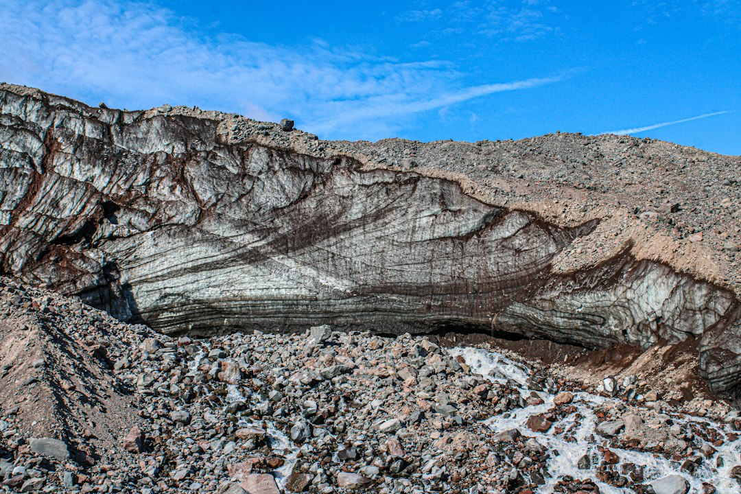
The geological process
Angular unconformities separate tilted older strata from younger layers, disconformities divide broadly parallel sedimentary beds, and nonconformities place sedimentary rocks above igneous or metamorphic basement.
How researchers investigate it
Geologists map the contact, compare bedding orientations and date minerals or fossils above and below it. Weathering profiles, basal conglomerates and changes in sediment source can provide evidence about the missing interval.
What to look for in the landscape
Look for changes in rock type, truncation of layers and irregular contact surfaces. A measured sketch should show the geometry of both units and evidence that older rocks were exposed before burial.
Limits and interpretation
The time gap may vary across a region, and a similar-looking contact can have different local histories. No single photograph can establish the age or origin of an unconformity.
Why the region or feature matters
Unconformities reveal episodes of uplift, erosion and renewed deposition. They help geologists reconstruct events that are absent from the rock record itself.
Connecting local evidence to regional history
A single exposure rarely tells the whole story. Geologists compare nearby outcrops, topographic patterns and mapped rock units to determine whether a feature is local or part of a wider geological structure. This regional approach is especially important where younger soil, vegetation or sediment hides the bedrock contact.
A careful approach to geological interpretation
Descriptions should begin with what can be observed: rock type, grain size, layering, fractures, fossils and the relationship between units. Interpretations are stronger when they explain several observations at once and acknowledge evidence that does not fit the preferred explanation.
Further learning
Regional geological surveys, national park geology pages and university field guides provide maps and case studies for comparing this feature with other examples. Check the scale and date of each map, and distinguish a well-established geological principle from an interpretation that remains under discussion.
Estimated reading time: 4–6 minutes.