q4WsCvLajdd4
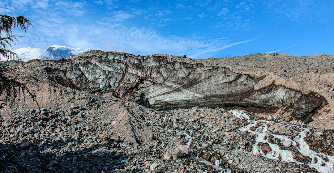
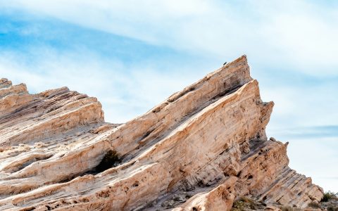
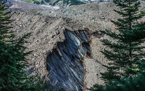
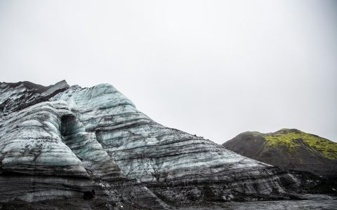
Bedding records the layering of sedimentary rocks and provides a reference for reconstructing how strata were deposited and later deformed. Its orientation can reveal tilting, folding and the geometry of geological structures.
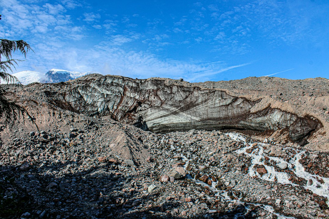
The science behind the subject
Geologists describe bedding using strike and dip. Strike is the compass direction of a horizontal line on a plane, while dip records the direction and angle of the plane’s steepest descent. Measurements help compare layers across an exposure or map area.
What the evidence can tell us
A compass-clinometer, field notebook and careful site selection are common tools. Measurements are repeated at several points because surfaces may be weathered, uneven or locally disturbed by slumping and fractures.
A practical way to observe it
Choose a clear bedding surface, record the measurement method and photograph the feature with context. Compare adjacent layers and note whether the exposure may have been rotated or displaced.
Important limits and misconceptions
A single measurement does not establish the geometry of an entire formation. Bedding can vary, and apparent planes may be joints or cleavage rather than depositional layering.
Why this matters
Bedding orientation is a basic but powerful dataset in structural geology. It helps connect outcrop-scale observations with regional folds, basin development and the sequence of tectonic events.
Putting local observations into context
A strong interpretation combines several independent clues rather than relying on one striking feature. Geological maps show how an exposure relates to the wider landscape, while mineral and sediment analysis can test explanations that are not visible to the eye. The best field notes make clear which details were measured, which were estimated and which remain uncertain.
From evidence to explanation
Geologists often compare competing explanations before settling on an interpretation. A feature may have more than one possible origin, and new measurements can change the preferred model. This is not a weakness: it is how Earth science improves, by making claims testable and revising them when additional evidence becomes available.
Questions for further study
Readers can extend this topic by comparing examples from different climates and tectonic settings. Ask whether the same process produces different landforms under different conditions, and whether a similar-looking feature could have formed by another mechanism. Regional geological surveys and university teaching resources provide useful maps and case studies.
Estimated reading time: 4–6 minutes.