q4WsCvLajdd4
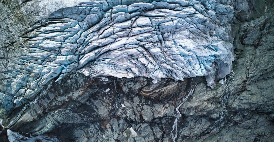
White Sands in New Mexico is known for its bright dune field, which is unusual because the dunes are made largely of gypsum rather than the quartz sand common in many deserts. Its geology links an enclosed basin, evaporite minerals and wind transport.
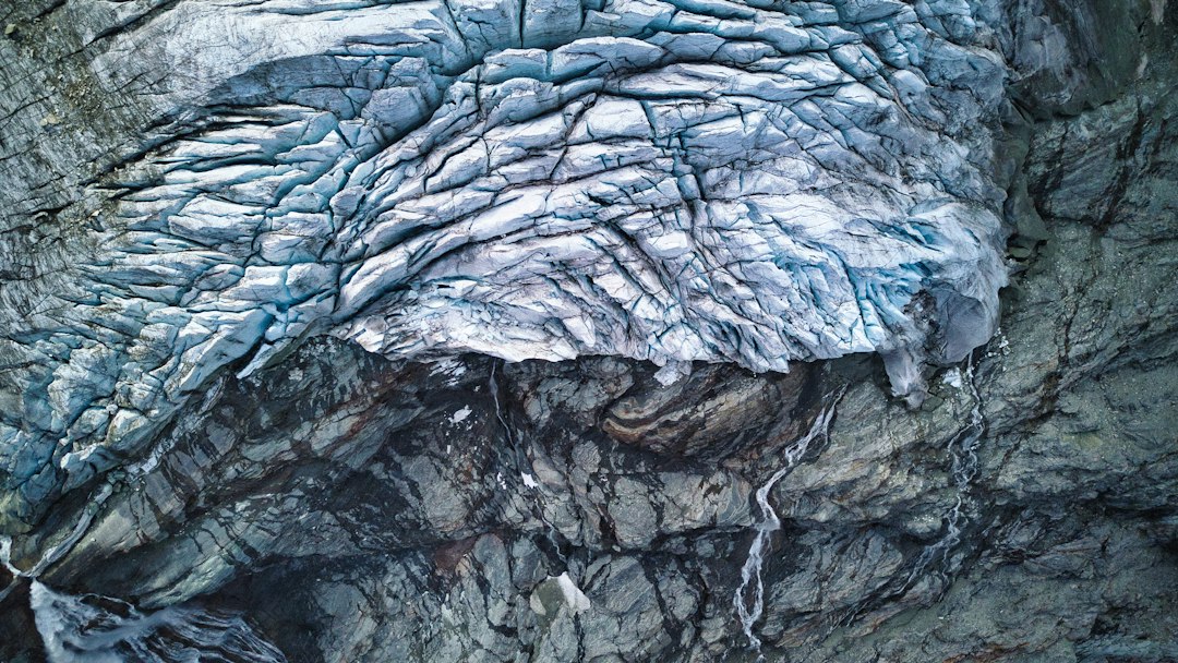
The geological process
Gypsum dissolves more readily than quartz, so extensive gypsum dunes require a local supply and conditions that limit its removal. Water can dissolve gypsum from surrounding rocks, move it into the basin and leave crystals behind as evaporation concentrates the water.
How researchers investigate it
Geologists study mineral composition, dune shape, sediment movement and the hydrology of the basin. Mapping the source areas and transport pathways helps explain how gypsum accumulates and why the dune field persists in an otherwise dry landscape.
What to look for in the landscape
Observe dune form from designated routes and compare windward and leeward slopes. Note the relationship between the dune field, basin margins and nearby water features, while avoiding disturbance of fragile surfaces.
Limits and interpretation
The white colour alone does not identify a mineral. Similar-looking sand may have different compositions, and dune movement varies with wind, moisture and vegetation cover.
Why the region or feature matters
White Sands is a clear example of how mineral chemistry and basin hydrology can create a distinctive landscape. It shows that desert dunes are shaped by local geology as much as by wind.
Connecting local evidence to regional history
A single exposure rarely tells the whole story. Geologists compare nearby outcrops, topographic patterns and mapped rock units to determine whether a feature is local or part of a wider geological structure. This regional approach is especially important where younger soil, vegetation or sediment hides the bedrock contact.
A careful approach to geological interpretation
Descriptions should begin with what can be observed: rock type, grain size, layering, fractures, fossils and the relationship between units. Interpretations are stronger when they explain several observations at once and acknowledge evidence that does not fit the preferred explanation.
Further learning
Regional geological surveys, national park geology pages and university field guides provide maps and case studies for comparing this feature with other examples. Check the scale and date of each map, and distinguish a well-established geological principle from an interpretation that remains under discussion.
Estimated reading time: 4–6 minutes.