q4WsCvLajdd4
A 15 October 2026 Nature Communications study used K–Ar dating to investigate the history of the Altyn Tagh Fault and the transmission of tectonic stress across Asia. The work highlights how inherited weaknesses can influence later deformation.
The science behind the subject
The study reports more than 110 million years of episodic fault activity, beginning around 115 million years ago along an older lithospheric weakness. Reactivation near 56 million years ago is interpreted as evidence that India–Asia collision-related stress travelled far into the continental interior.
What the evidence can tell us
Dating fault-related minerals and comparing structural relationships help geologists distinguish separate episodes of movement. Regional mapping and plate reconstructions provide context for how a fault may be reactivated when the broader stress field changes.
A practical way to observe it
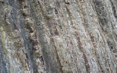
When examining a fault zone, record the orientation of structures, mineral veins and displaced layers. Compare the local observations with regional tectonic maps rather than assuming that all movement occurred during one event.
Important limits and misconceptions
A dated mineral may record growth or resetting during a particular episode, not necessarily every movement on the fault. Researchers must evaluate the mineral’s relationship to deformation and report uncertainty in the interpretation.
Why this matters
The study demonstrates that tectonic structures can have long and complex histories. Understanding inherited weaknesses helps explain why stress can be transmitted across continents and why old faults may influence modern landscapes.
Putting observations into context
A sound geological interpretation combines field relationships, maps and analytical evidence. A specimen provides information about texture and minerals, while a regional map shows how an exposure relates to surrounding units. Laboratory measurements can test ideas that are not visible to the eye, and clear notes make the reasoning easier for another reader to review.
From evidence to explanation
Geologists often compare more than one possible explanation before choosing an interpretation. A familiar shape or colour can have several origins, and new measurements may change the preferred model. This is how Earth science improves: claims are made testable, uncertainty is described and interpretations are revised when additional evidence becomes available.
Questions for further study
Compare examples from different climates, rock types and tectonic settings. Ask whether the same process produces different landforms under different conditions, and whether a similar-looking feature could have formed by another mechanism. National geological surveys and university teaching resources provide useful maps, datasets and case studies for further reading.
Source for further reading: https://www.nature.com/subjects/geology/nature.
Estimated reading time: 4–6 minutes.