q4WsCvLajdd4
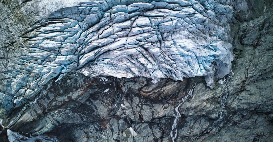
Nature reported on 7 October 2026 that NASA had released a collection of images and observations from the Artemis II flight. The material offers planetary scientists additional context for studying the Moon’s surface and planning future exploration.
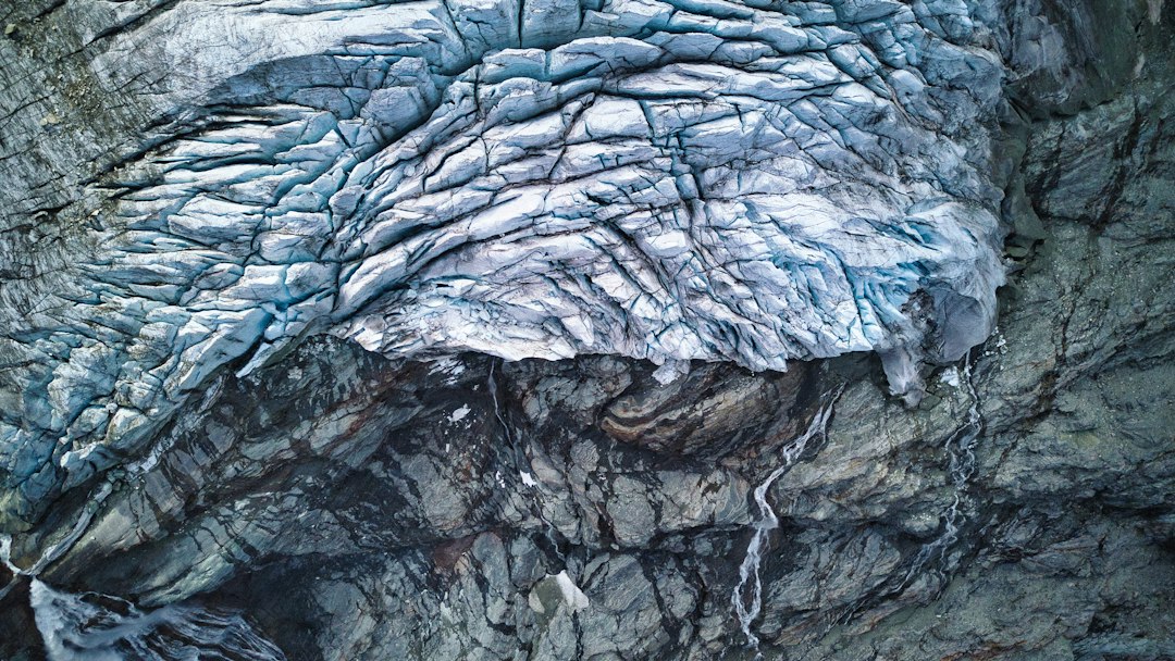
The science behind the subject
Lunar geology is reconstructed from crater shapes, impact ejecta, volcanic plains, fractures and variations in surface materials. Images taken from different viewing angles can help researchers interpret topography and compare visible features with orbital datasets.
What the evidence can tell us
Scientists combine crew photography with spacecraft imagery, elevation models, spectral data and samples from earlier missions. The strongest interpretations come from comparing visual observations with independent measurements rather than relying on appearance alone.
A practical way to observe it
A useful exercise is to compare a lunar photograph with a geological map and identify craters, mare plains and bright highland terrain. Note the lighting angle because shadows can exaggerate or hide small surface features.
Important limits and misconceptions
Photographs do not replace calibrated scientific instruments or physical samples. Lighting, camera settings and viewing geometry affect what can be identified, and a visual feature may require follow-up analysis.
Why this matters
New observations help connect planetary geology with mission planning. The Moon preserves a long impact history and provides a nearby natural laboratory for understanding the evolution of rocky worlds.
Putting observations into context
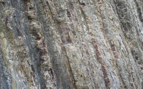
A sound geological interpretation combines field relationships, maps and analytical evidence. A specimen provides information about texture and minerals, while a regional map shows how an exposure relates to surrounding units. Laboratory measurements can test ideas that are not visible to the eye, and clear notes make the reasoning easier for another reader to review.
From evidence to explanation
Geologists often compare more than one possible explanation before choosing an interpretation. A familiar shape or colour can have several origins, and new measurements may change the preferred model. This is how Earth science improves: claims are made testable, uncertainty is described and interpretations are revised when additional evidence becomes available.
Questions for further study
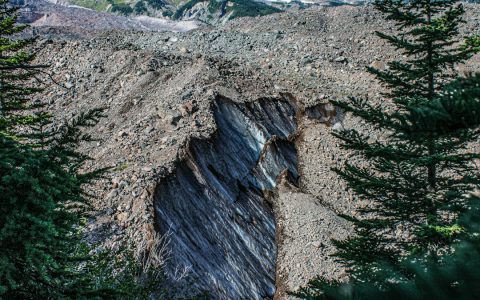
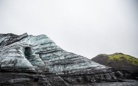
Compare examples from different climates, rock types and tectonic settings. Ask whether the same process produces different landforms under different conditions, and whether a similar-looking feature could have formed by another mechanism. National geological surveys and university teaching resources provide useful maps, datasets and case studies for further reading.
Source for further reading: https://www.nature.com/subjects/geology/nature.
Estimated reading time: 4–6 minutes.