q4WsCvLajdd4
A scientific drilling paper published in September 2026 described the GRIND-ECT initiative, designed to obtain a detailed rock archive across the Ediacaran–Cambrian transition. The project aims to improve the record of early animal evolution and changing marine ecosystems.
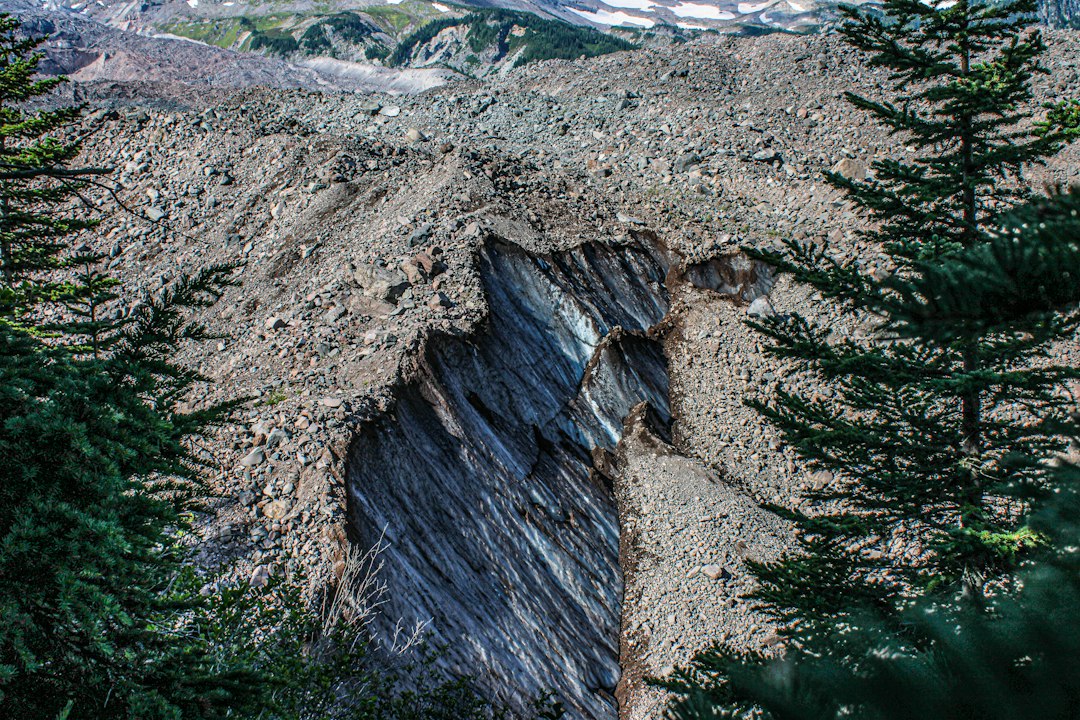
The science behind the subject
The transition spans a period when animal diversity, plankton communities and biomineralisation changed significantly. Continuous drill cores can preserve sequences that are difficult to reconstruct from scattered surface exposures, especially where erosion or vegetation interrupts the outcrop record.
What the evidence can tell us
Researchers integrate core logging, fossil analysis, geochemistry, sedimentology and precise age control. The combination allows different signals to be compared within one stratigraphic framework and helps test whether changes occurred together or at different times.
A practical way to observe it
A core log records lithology, sedimentary structures, fossils and boundaries in a consistent vertical sequence. Comparing several drill sites can reveal whether a pattern is local or widespread across a basin.
Important limits and misconceptions
Drilling does not guarantee a complete or undisturbed record. Core recovery, gaps, later alteration and age uncertainty must be evaluated before a sequence is treated as continuous.
Why this matters
The project demonstrates how coordinated drilling can improve the geological archive. Better records help scientists test explanations for major evolutionary transitions and the environmental changes that accompanied them.
Putting observations into context
A sound geological interpretation combines field relationships, maps and analytical evidence. A specimen provides information about texture and minerals, while a regional map shows how an exposure relates to surrounding units. Laboratory measurements can test ideas that are not visible to the eye, and clear notes make the reasoning easier for another reader to review.
From evidence to explanation
Geologists often compare more than one possible explanation before choosing an interpretation. A familiar shape or colour can have several origins, and new measurements may change the preferred model. This is how Earth science improves: claims are made testable, uncertainty is described and interpretations are revised when additional evidence becomes available.
Questions for further study
Compare examples from different climates, rock types and tectonic settings. Ask whether the same process produces different landforms under different conditions, and whether a similar-looking feature could have formed by another mechanism. National geological surveys and university teaching resources provide useful maps, datasets and case studies for further reading.
Source for further reading: https://sd.copernicus.org/articles/35/171/2026/index.html.
Estimated reading time: 4–6 minutes.