q4WsCvLajdd4
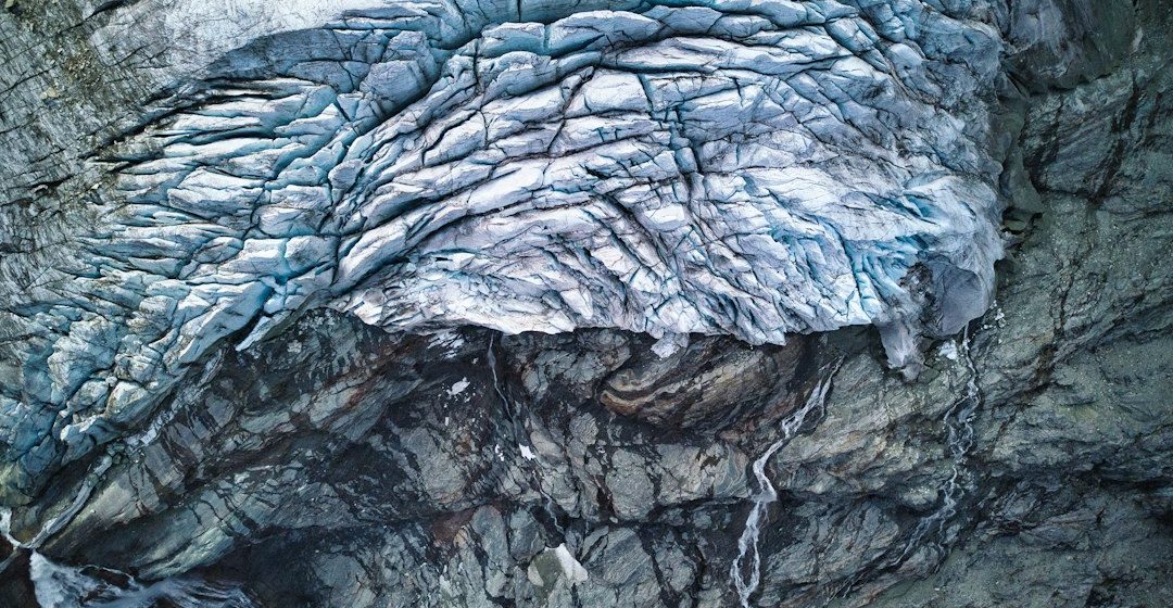
Columnar basalt is a striking volcanic rock formation in which cooling lava is divided into long, polygonal columns. The geometry is natural: it develops as hot rock contracts during cooling and fractures propagate through the solidifying material.
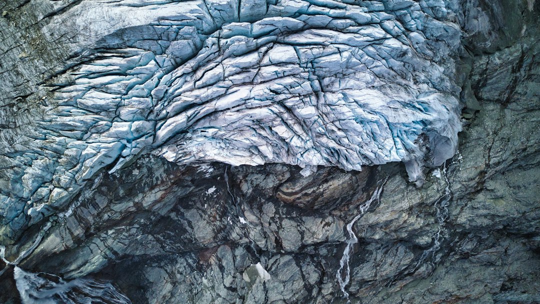
The science behind the subject
As basalt cools, it contracts and tensile stresses develop. Cracks form and advance through the cooling body, commonly producing columns that are roughly perpendicular to the cooling surface. Column size and regularity vary with cooling rate, thickness and local conditions.
What the evidence can tell us
Geologists examine column orientation, joint spacing, lava-flow boundaries and the surrounding volcanic sequence. Petrography confirms the rock type, while mapping helps determine whether columns formed in a lava flow, sill or another igneous body.
A practical way to observe it
Look for column orientation relative to the top and base of the flow. Record changes in column diameter and note whether the exposure is fresh or weathered; do not climb or remove pieces from protected formations.
Important limits and misconceptions
Columns are not always perfect hexagons, and their shape alone does not reveal an exact cooling time. Similar joint patterns can develop in different settings, so geological context remains essential.
Why this matters
Columnar basalt connects simple physical contraction to large-scale volcanic landscapes. It provides an accessible example of how cooling, stress and fracture growth create ordered patterns in nature.
Putting local observations into context
A strong interpretation combines several independent clues rather than relying on one striking feature. Geological maps show how an exposure relates to the wider landscape, while mineral and sediment analysis can test explanations that are not visible to the eye. The best field notes make clear which details were measured, which were estimated and which remain uncertain.
From evidence to explanation
Geologists often compare competing explanations before settling on an interpretation. A feature may have more than one possible origin, and new measurements can change the preferred model. This is not a weakness: it is how Earth science improves, by making claims testable and revising them when additional evidence becomes available.
Questions for further study
Readers can extend this topic by comparing examples from different climates and tectonic settings. Ask whether the same process produces different landforms under different conditions, and whether a similar-looking feature could have formed by another mechanism. Regional geological surveys and university teaching resources provide useful maps and case studies.
Estimated reading time: 4–6 minutes.