q4WsCvLajdd4
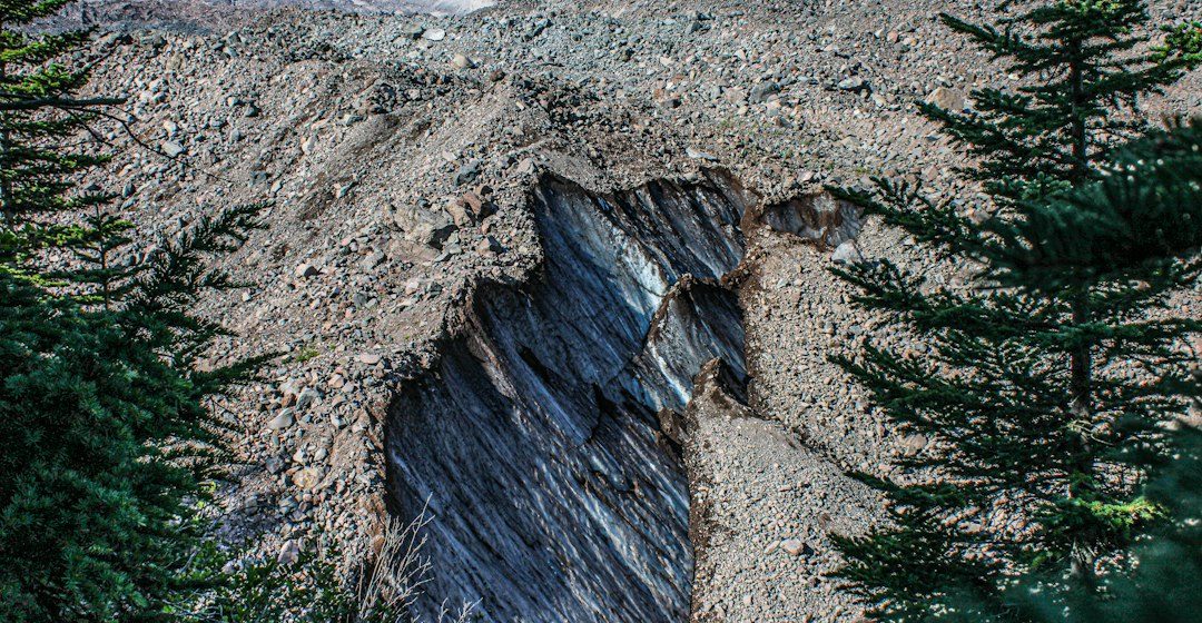
Earth’s lithosphere is divided into moving plates that interact at divergent, convergent and transform boundaries. These settings help explain the global distribution of earthquakes, volcanoes, mountain belts and ocean basins.
The science behind the subject
At divergent boundaries plates move apart and new crust can form. At convergent boundaries plates collide or one descends beneath another. Transform boundaries accommodate sideways motion. Real margins may combine several styles of deformation.
What the evidence can tell us
Scientists use earthquake locations, seafloor mapping, GPS measurements, volcanic chemistry and rock records to understand plate motion. Geological evidence can preserve older boundaries even after active movement has shifted elsewhere.
A practical way to observe it
Compare a map of earthquake depth and volcano location with a plate-boundary map. Look for patterns rather than treating one earthquake or volcano as proof of a particular boundary type.
Important limits and misconceptions
Plate boundaries are not always simple lines, and deformation can spread across broad zones. Some ancient structures are inactive, so present-day motion should not be inferred from appearance alone.
Why this matters
Plate tectonics provides a unifying framework for geology. It connects the movement of continents and oceans with mountain building, magmatism, metamorphism and the recycling of crust into Earth’s interior.
Putting observations into context
A sound geological interpretation combines field relationships, maps and analytical evidence. A specimen provides information about texture and minerals, while a regional map shows how an exposure relates to surrounding units. Laboratory measurements can test ideas that are not visible to the eye, and clear notes make the reasoning easier for another reader to review.
From evidence to explanation
Geologists often compare more than one possible explanation before choosing an interpretation. A familiar shape or colour can have several origins, and new measurements may change the preferred model. This is how Earth science improves: claims are made testable, uncertainty is described and interpretations are revised when additional evidence becomes available.
Questions for further study
Compare examples from different climates, rock types and tectonic settings. Ask whether the same process produces different landforms under different conditions, and whether a similar-looking feature could have formed by another mechanism. National geological surveys and university teaching resources provide useful maps, datasets and case studies for further reading.
Estimated reading time: 4–6 minutes.