q4WsCvLajdd4
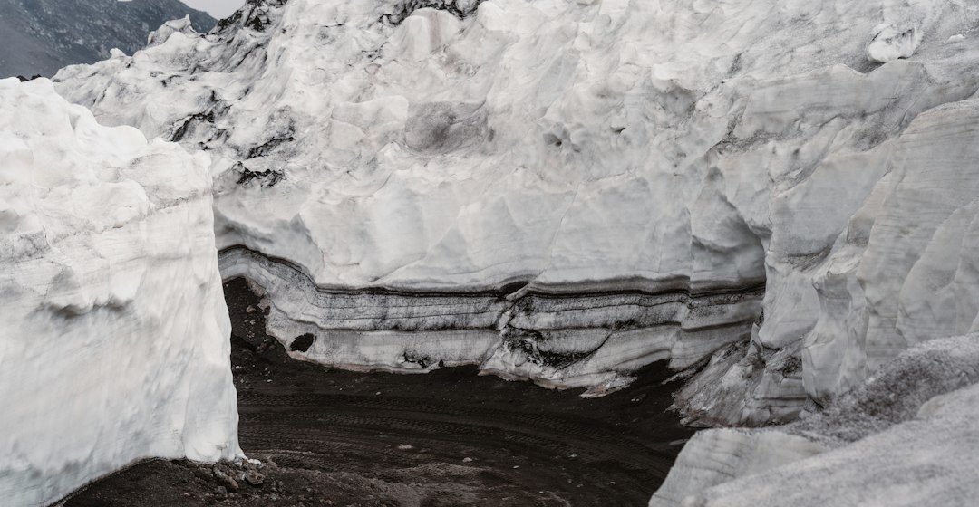
Sedimentary structures form as particles are transported, deposited and modified. Bedding, cross-bedding, ripple marks, graded layers and mud cracks can preserve clues about water depth, flow direction, sediment supply and exposure.
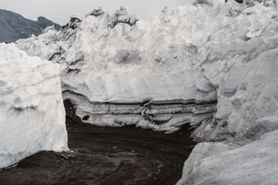
The science behind the subject
Cross-bedding often forms as ripples or dunes migrate, while graded beds may record a waning flow. Mud cracks develop when wet sediment dries, and ripple marks can form under currents or waves. Each structure must be interpreted in its sedimentary context.
What the evidence can tell us
Geologists measure bed thickness, grain size, orientation and the relationships between structures. Thin sections and sedimentary logs help compare deposits across a basin and distinguish primary features from later deformation.
A practical way to observe it
Sketch structures in place and record their orientation relative to bedding. Look for repeated patterns through a section, because a single ripple or crack may have several possible origins.
Important limits and misconceptions
Structures can be distorted by compaction, bioturbation and tectonic deformation. Similar forms may arise in different environments, so interpretation should combine geometry, grain size, fossils and regional setting.
Why this matters
Sedimentary structures turn rock layers into records of ancient processes. They help reconstruct rivers, deserts, lakes and marine environments that no longer exist in their original form.
Putting observations into context
A sound geological interpretation combines field relationships, maps and analytical evidence. A specimen provides information about texture and minerals, while a regional map shows how an exposure relates to surrounding units. Laboratory measurements can test ideas that are not visible to the eye, and clear notes make the reasoning easier for another reader to review.
From evidence to explanation
Geologists often compare more than one possible explanation before choosing an interpretation. A familiar shape or colour can have several origins, and new measurements may change the preferred model. This is how Earth science improves: claims are made testable, uncertainty is described and interpretations are revised when additional evidence becomes available.
Questions for further study
Compare examples from different climates, rock types and tectonic settings. Ask whether the same process produces different landforms under different conditions, and whether a similar-looking feature could have formed by another mechanism. National geological surveys and university teaching resources provide useful maps, datasets and case studies for further reading.
Estimated reading time: 4–6 minutes.