q4WsCvLajdd4
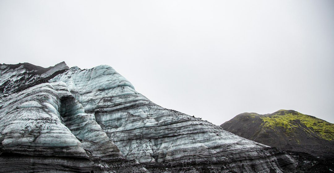
Radiometric dating estimates the age of suitable minerals by measuring the proportions of radioactive parent isotopes and their decay products. It provides numerical constraints that complement the relative sequence established from field relationships.
The science behind the subject
Radioactive decay occurs at a predictable rate described by a half-life. Different isotope systems are useful for different age ranges and minerals. The method works best when the mineral’s history and the geological event being dated are understood.
What the evidence can tell us
Laboratories measure isotope ratios with mass spectrometers and assess uncertainties, contamination and possible later disturbance. Zircon U-Pb dating is widely used because zircon can incorporate uranium during crystallisation while generally excluding lead.
A practical way to observe it
A geologist first asks what event the mineral might record: crystallisation, cooling, metamorphism or later fluid interaction. The sample’s field context is therefore as important as the laboratory measurement.
Important limits and misconceptions
A numerical age is not automatically the age of the whole rock or landscape. Inherited grains, reheating and alteration can complicate interpretation, and every result should be reported with uncertainty.
Why this matters
Radiometric dating anchors Earth history to a numerical timescale. Combined with stratigraphy and structural geology, it allows researchers to compare events across continents and reconstruct the evolution of the planet.
Putting observations into context
A sound geological interpretation combines field relationships, maps and analytical evidence. A specimen provides information about texture and minerals, while a regional map shows how an exposure relates to surrounding units. Laboratory measurements can test ideas that are not visible to the eye, and clear notes make the reasoning easier for another reader to review.
From evidence to explanation
Geologists often compare more than one possible explanation before choosing an interpretation. A familiar shape or colour can have several origins, and new measurements may change the preferred model. This is how Earth science improves: claims are made testable, uncertainty is described and interpretations are revised when additional evidence becomes available.
Questions for further study
Compare examples from different climates, rock types and tectonic settings. Ask whether the same process produces different landforms under different conditions, and whether a similar-looking feature could have formed by another mechanism. National geological surveys and university teaching resources provide useful maps, datasets and case studies for further reading.
Estimated reading time: 4–6 minutes.