q4WsCvLajdd4
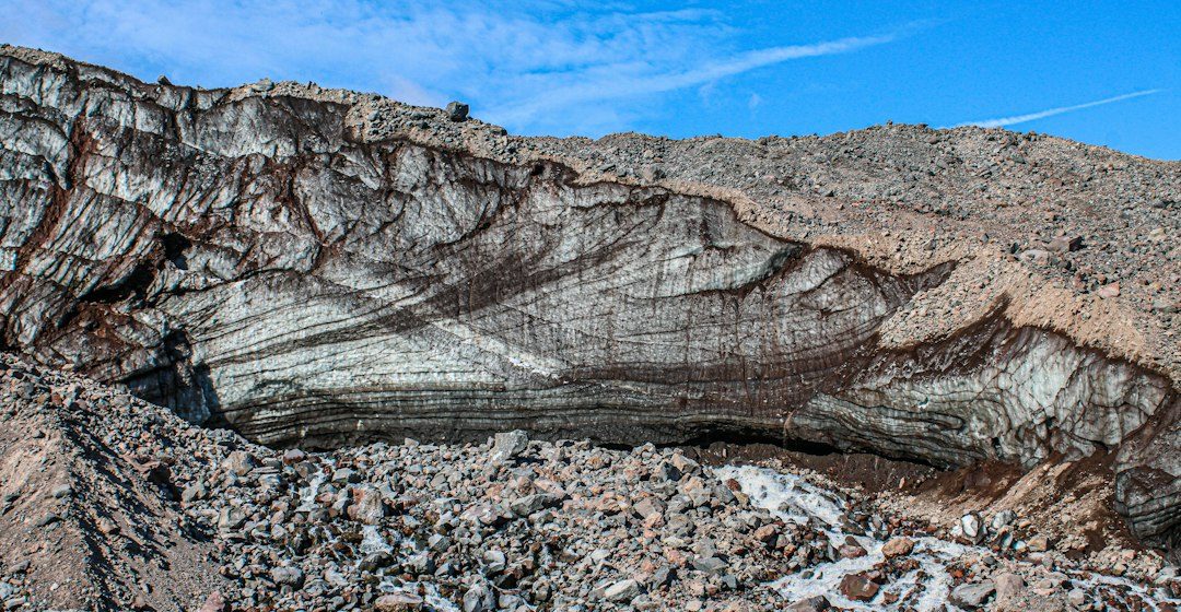
A river transect is a structured way to observe how channel form and sediment change from one bank to the other. It links visible landforms with the movement of water and the supply of sediment.
The science behind the subject
Channel shape reflects discharge, sediment load, bank strength, vegetation and valley gradient. Bars form where transport capacity decreases, while pools and riffles create local differences in depth and flow. Floods can reorganize these features quickly.
What the evidence can tell us
Field teams measure channel width, depth, bank height, grain size and surface slope. Repeating the same transect after different flow conditions can reveal erosion, deposition and channel migration.
A practical way to observe it
Choose a safe, permitted viewpoint and record the date, recent rainfall and water level. Sketch bars, bends and bank materials, then compare observations with a topographic map or aerial image.
Important limits and misconceptions
One transect captures only a short section of a dynamic river. A reach may behave differently upstream or downstream, and a survey after a flood may not represent ordinary conditions.
Why this matters
Transects help explain floodplain development, habitat diversity and sediment transfer. They also teach a broader field principle: repeatable measurements are more useful than impressions alone.
Putting local observations into context
A strong interpretation combines several independent clues rather than relying on one striking feature. Geological maps show how an exposure relates to the wider landscape, while mineral and sediment analysis can test explanations that are not visible to the eye. The best field notes make clear which details were measured, which were estimated and which remain uncertain.
From evidence to explanation
Geologists often compare competing explanations before settling on an interpretation. A feature may have more than one possible origin, and new measurements can change the preferred model. This is not a weakness: it is how Earth science improves, by making claims testable and revising them when additional evidence becomes available.
Questions for further study
Readers can extend this topic by comparing examples from different climates and tectonic settings. Ask whether the same process produces different landforms under different conditions, and whether a similar-looking feature could have formed by another mechanism. Regional geological surveys and university teaching resources provide useful maps and case studies.
Estimated reading time: 4–6 minutes.