q4WsCvLajdd4
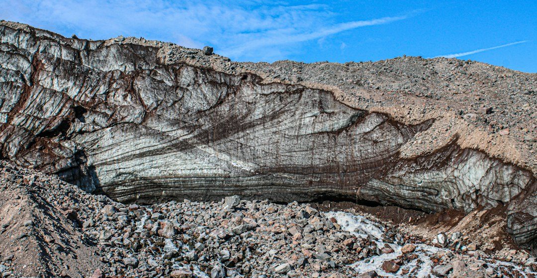
The rock cycle describes the transformations that connect igneous, sedimentary and metamorphic rocks. It is not a fixed sequence: any rock can be uplifted, weathered, buried, heated or melted depending on its geological setting.
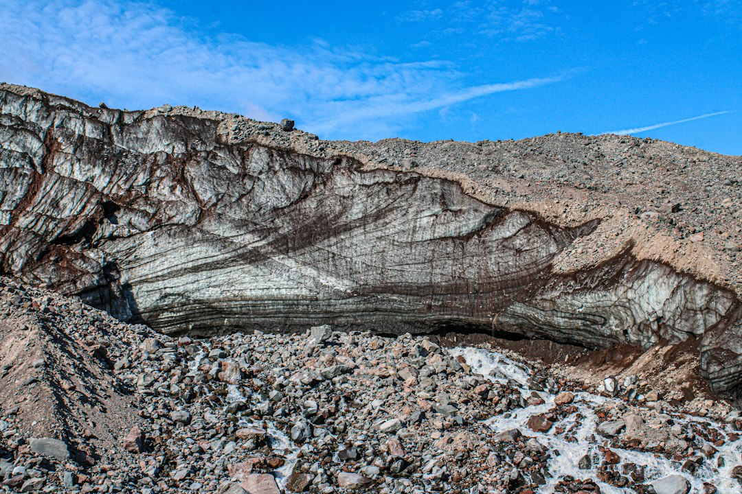
The science behind the subject
Magma cools to form igneous rock; weathering creates sediment that may become sedimentary rock; burial and heat can produce metamorphic changes; and melting can return material to magma. Tectonics, water and climate influence each pathway.
What the evidence can tell us
Geologists reconstruct these changes using mineral assemblages, textures, field relationships and radiometric ages. A single rock may preserve evidence of more than one stage, such as an older mineral core surrounded by a younger metamorphic rim.
A practical way to observe it
Follow a rock from outcrop to sediment, basin and possible later uplift. Sketch the processes that could connect each stage, and note which transitions are supported by evidence rather than assumed.
Important limits and misconceptions
The rock cycle is a teaching model, not a conveyor belt that every rock must follow. Some materials remain stable for long periods, while others are transformed repeatedly or recycled into the mantle.
Why this matters
The cycle links surface landscapes with Earth’s interior. It helps explain why rocks record climate, water, tectonics and deep time, and why geological materials are continually redistributed.
Putting observations into context
A sound geological interpretation combines field relationships, maps and analytical evidence. A specimen provides information about texture and minerals, while a regional map shows how an exposure relates to surrounding units. Laboratory measurements can test ideas that are not visible to the eye, and clear notes make the reasoning easier for another reader to review.
From evidence to explanation
Geologists often compare more than one possible explanation before choosing an interpretation. A familiar shape or colour can have several origins, and new measurements may change the preferred model. This is how Earth science improves: claims are made testable, uncertainty is described and interpretations are revised when additional evidence becomes available.
Questions for further study
Compare examples from different climates, rock types and tectonic settings. Ask whether the same process produces different landforms under different conditions, and whether a similar-looking feature could have formed by another mechanism. National geological surveys and university teaching resources provide useful maps, datasets and case studies for further reading.
Estimated reading time: 4–6 minutes.