q4WsCvLajdd4
An open-access study published on 3 October 2026 examined the 2025 Santorini–Amorgos seismic crisis using a large relocated earthquake catalogue. It provides an example of how detailed seismic analysis can help distinguish tectonic structures from magma-related processes.
The science behind the subject
The authors analysed 66,109 earthquakes and identified a fault network at roughly 8–12 kilometres depth. Their interpretation links repeated bursts of seismicity with magma intrusion, while showing how earthquake sequences can migrate through a complex system over time.
What the evidence can tell us
Seismologists compare earthquake locations, depths, magnitudes and timing. Relocation methods improve the geometry of a sequence, while geological and geophysical context helps researchers test whether faults, fluids or magma movement best explain the observations.
A practical way to observe it
A map of earthquake epicentres is only a starting point. Depth sections and time sequences are needed to understand how activity changes, and observations should be interpreted alongside official monitoring and published research.
Important limits and misconceptions
Earthquake patterns do not provide a simple prediction of an eruption. The study concerns a specific crisis and should not be generalized to every volcanic island or used as a standalone forecast.
Why this matters
The research illustrates how geology, geophysics and data analysis work together in volcanic regions. It improves understanding of subsurface processes while reinforcing the importance of careful communication about uncertainty.
Putting observations into context
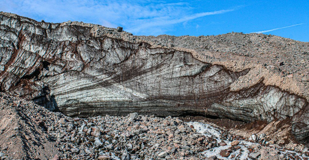
A sound geological interpretation combines field relationships, maps and analytical evidence. A specimen provides information about texture and minerals, while a regional map shows how an exposure relates to surrounding units. Laboratory measurements can test ideas that are not visible to the eye, and clear notes make the reasoning easier for another reader to review.
From evidence to explanation
Geologists often compare more than one possible explanation before choosing an interpretation. A familiar shape or colour can have several origins, and new measurements may change the preferred model. This is how Earth science improves: claims are made testable, uncertainty is described and interpretations are revised when additional evidence becomes available.
Questions for further study
Compare examples from different climates, rock types and tectonic settings. Ask whether the same process produces different landforms under different conditions, and whether a similar-looking feature could have formed by another mechanism. National geological surveys and university teaching resources provide useful maps, datasets and case studies for further reading.
Source for further reading: https://agupubs.onlinelibrary.wiley.com/doi/10.1029/2026JB034431.
Estimated reading time: 4–6 minutes.