q4WsCvLajdd4
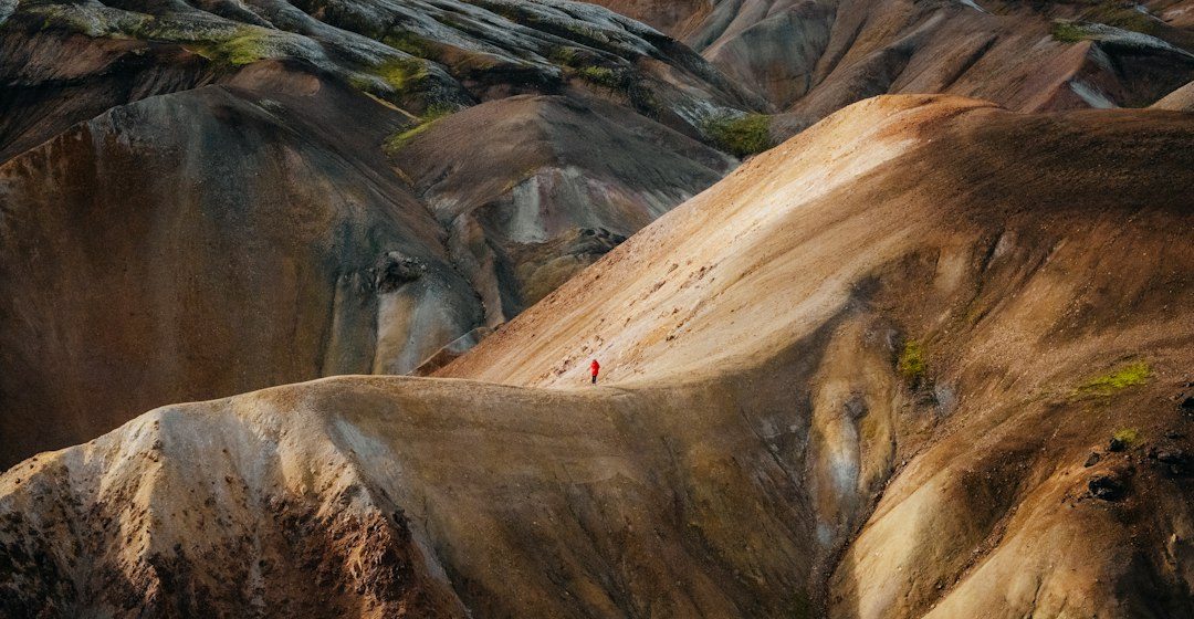
The water cycle links the atmosphere, surface water, soil, groundwater and oceans. Geology influences where water infiltrates, how it is stored, and how quickly it moves from hillslopes into streams or aquifers.
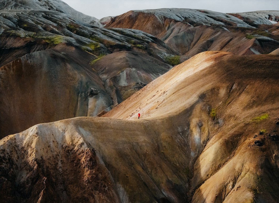
The science behind the subject
Permeable sands and fractured rocks allow infiltration, while compacted soils and low-permeability layers encourage runoff. Karst limestone can route water through underground conduits, producing rapid connections between rainfall, springs and streams.
What the evidence can tell us
Hydrologists combine rainfall records, stream gauges, groundwater levels, soil-moisture sensors and geological maps. These observations help estimate recharge, identify seasonal storage and understand how a catchment responds to intense rainfall or prolonged dry periods.
A practical way to observe it
Compare a permeable slope, wetland, spring and nearby stream. Record recent weather and land cover because these factors strongly influence what is observed during a single visit.
Important limits and misconceptions
Water pathways are rarely uniform across a catchment. Subsurface fractures, buried channels and human infrastructure may redirect flow, so a surface map alone cannot always explain groundwater behaviour.
Why this matters
The geological water cycle matters for flood planning, water supply and ecosystem health. It shows that the ground is not a passive surface but an active part of water movement and storage.
Putting local observations into context
A strong interpretation combines several independent clues rather than relying on one striking feature. Geological maps show how an exposure relates to the wider landscape, while mineral and sediment analysis can test explanations that are not visible to the eye. The best field notes make clear which details were measured, which were estimated and which remain uncertain.
From evidence to explanation
Geologists often compare competing explanations before settling on an interpretation. A feature may have more than one possible origin, and new measurements can change the preferred model. This is not a weakness: it is how Earth science improves, by making claims testable and revising them when additional evidence becomes available.
Questions for further study
Readers can extend this topic by comparing examples from different climates and tectonic settings. Ask whether the same process produces different landforms under different conditions, and whether a similar-looking feature could have formed by another mechanism. Regional geological surveys and university teaching resources provide useful maps and case studies.
Estimated reading time: 4–6 minutes.