q4WsCvLajdd4
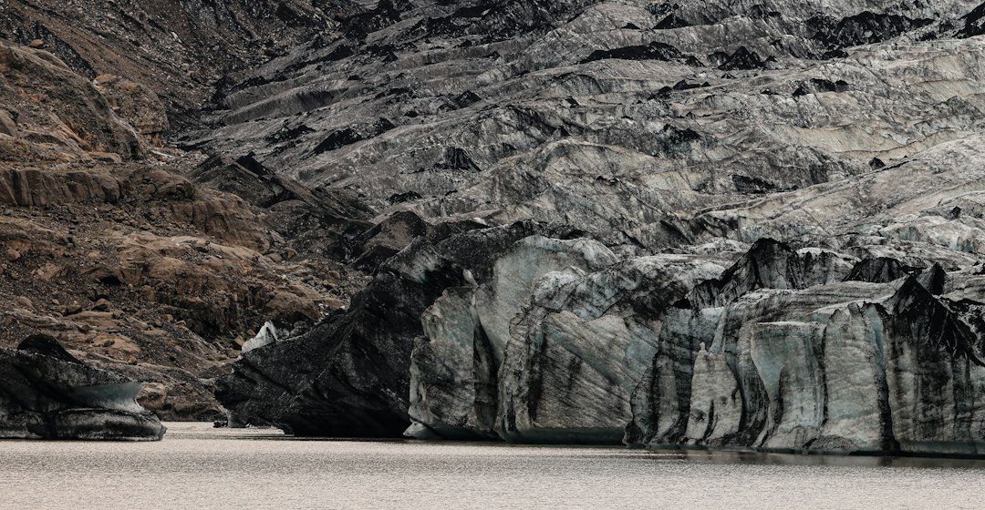
Alluvial fans are fan-shaped sediment deposits that form where streams emerge from confined valleys onto flatter terrain. They are common in arid and semi-arid regions but occur in many settings where transport conditions change abruptly.
The science behind the subject
As a channel loses gradient and spreads out, its ability to carry sediment may decrease. Gravel, sand and finer material are deposited in lobes and channels that can shift over time. Floods and debris flows may build or rework the fan.
What the evidence can tell us
Geologists map fan surfaces, channel networks, sediment size and the relationships between older and younger deposits. Satellite imagery and elevation models help reveal abandoned channels and patterns that are difficult to see from one viewpoint.
A practical way to observe it
Compare the fan apex near the mountain front with lower fan surfaces. Note changes in grain size and channel pattern, and use a map to identify where sediment spreads across the basin.
Important limits and misconceptions
A fan is not a single event deposit. It may contain many episodes of stream flow, debris movement, soil development and erosion, so its surface can conceal a complex internal history.
Why this matters
Alluvial fans record how mountains transfer sediment into basins. They influence groundwater recharge, landforms and planning because channels may migrate across the fan during future floods.
Putting local observations into context
A strong interpretation combines several independent clues rather than relying on one striking feature. Geological maps show how an exposure relates to the wider landscape, while mineral and sediment analysis can test explanations that are not visible to the eye. The best field notes make clear which details were measured, which were estimated and which remain uncertain.
From evidence to explanation
Geologists often compare competing explanations before settling on an interpretation. A feature may have more than one possible origin, and new measurements can change the preferred model. This is not a weakness: it is how Earth science improves, by making claims testable and revising them when additional evidence becomes available.
Questions for further study
Readers can extend this topic by comparing examples from different climates and tectonic settings. Ask whether the same process produces different landforms under different conditions, and whether a similar-looking feature could have formed by another mechanism. Regional geological surveys and university teaching resources provide useful maps and case studies.
Estimated reading time: 4–6 minutes.