q4WsCvLajdd4
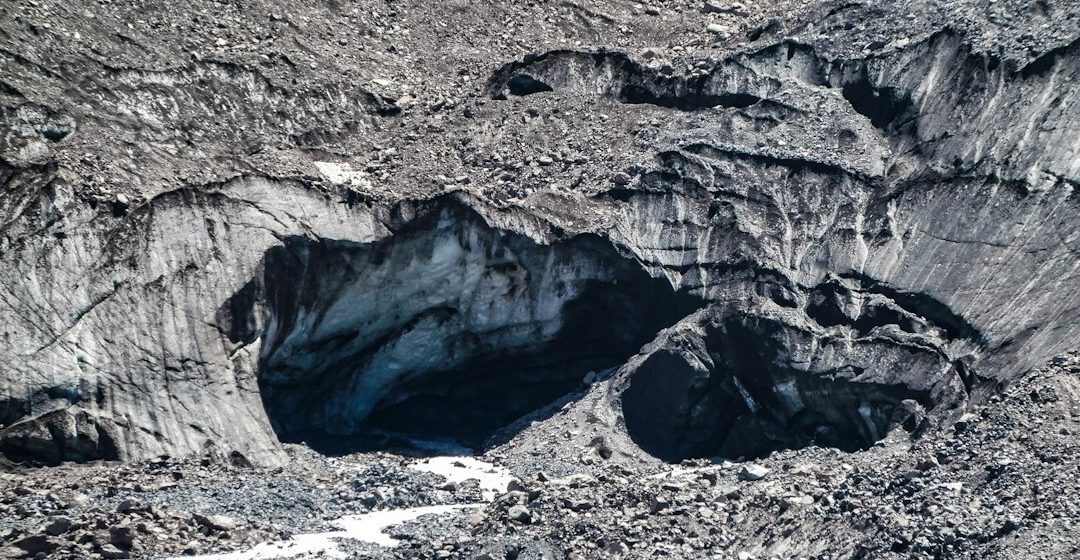
Groundwater occupies pores, fractures and openings beneath the land surface. An aquifer is a geological formation that can store and transmit usable quantities of water, making its rock type and structure central to water supply.
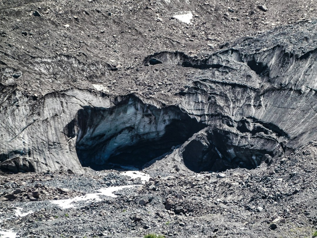
How water moves underground
Sand and gravel often transmit water through connected pore spaces, while fractured limestone or volcanic rock may carry water along cracks and conduits. Clay-rich layers usually restrict flow and can act as aquitards that separate groundwater systems. The amount of water that can move depends on the size, shape and connection of openings, as well as the pressure difference that drives flow.
How scientists investigate aquifers
Hydrogeologists use well records, pumping tests, water-level measurements, tracer studies and geophysical surveys. The results help estimate how quickly water moves, how much storage is available and whether pumping could lower water levels in nearby wells or streams. Chemical analysis can also reveal whether groundwater has interacted with particular minerals or been affected by human activities.
Reading groundwater in the landscape
A field study may map springs, stream reaches, rock contacts and landforms that influence recharge. A spring can reveal where groundwater reaches the surface, but its flow may vary with rainfall, season and local geology. A careful survey records the setting, recent weather, water temperature and any visible changes in the surrounding rocks without assuming that one observation represents the whole aquifer.
What an aquifer is not
Aquifers are not underground lakes in most settings. Water usually moves slowly through connected pores or fractures, and boundaries can be complex. Sustainable use depends on recharge, pumping, water quality and the needs of connected ecosystems. Some aquifers receive water over long periods, while others respond relatively quickly to seasonal rainfall.
Why groundwater geology matters
Groundwater connects geology to communities, agriculture and rivers. Knowing the materials beneath a catchment helps explain why some places store water well while others respond quickly to drought or contamination. It also helps planners identify vulnerable recharge areas and understand why pollution may travel along some pathways faster than others.
Geological interpretation is strongest when several independent observations point toward the same explanation. A map provides spatial context, a specimen reveals texture and mineral content, and laboratory measurements can test ideas that cannot be settled by appearance alone. Keeping observations separate from interpretations makes the reasoning easier to review.
Scale is important. A feature visible in one well or outcrop may not continue across an entire region. Hydrogeologists therefore compare local measurements with regional mapping, dated records and observations from other wells. This helps distinguish a local anomaly from a pattern that affects a wider groundwater system.
For further study, compare field observations with geological maps and groundwater resources from national geological surveys. Check how measurements were collected, note the period they cover and distinguish established principles from interpretations that may change as new evidence becomes available.
Estimated reading time: 4–6 minutes.