q4WsCvLajdd4
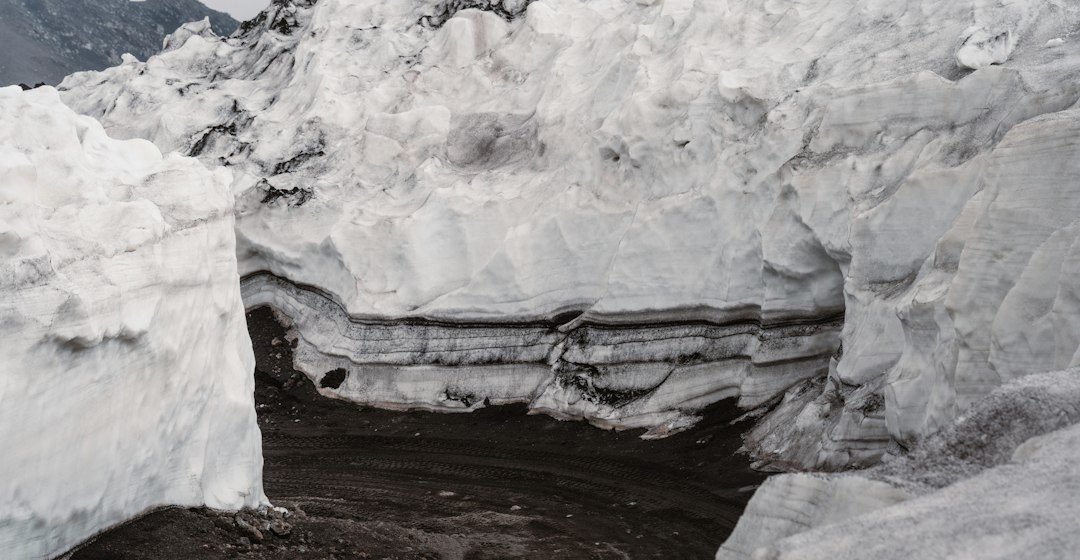
Karst landscapes develop where soluble rocks, especially limestone, are dissolved by water. Sinkholes, disappearing streams, springs and caves are surface and underground expressions of a connected drainage system.
The science behind the subject
Rainwater absorbs carbon dioxide from soil and air, forming weakly acidic water that can dissolve calcite. Over long periods, fractures widen into conduits and caves, allowing water to move underground rather than along the surface.
What the evidence can tell us
Geologists map sinkholes, springs, cave passages and limestone bedding. Water chemistry, dye tracing by trained specialists and cave surveys help reveal connections between recharge areas and groundwater outlets.
A practical way to observe it
Observe karst features from permitted routes and avoid entering caves without qualified supervision. Record drainage patterns, rock type and surface depressions, since these clues can help distinguish karst from collapse or erosion features.
Important limits and misconceptions
Not every hole in limestone is a sinkhole, and cave development depends on rock structure, water chemistry and time. Underground flow can be rapid and difficult to predict, so surface observations are only part of the picture.
Why this matters
Karst geology matters for groundwater supply, land-use planning and ecosystem protection. Contaminants can move quickly through conduits, making the geological structure important for water quality management.
Putting local observations into context
A strong interpretation combines several independent clues rather than relying on one striking feature. Geological maps show how an exposure relates to the wider landscape, while mineral and sediment analysis can test explanations that are not visible to the eye. The best field notes make clear which details were measured, which were estimated and which remain uncertain.
From evidence to explanation
Geologists often compare competing explanations before settling on an interpretation. A feature may have more than one possible origin, and new measurements can change the preferred model. This is not a weakness: it is how Earth science improves, by making claims testable and revising them when additional evidence becomes available.
Questions for further study
Readers can extend this topic by comparing examples from different climates and tectonic settings. Ask whether the same process produces different landforms under different conditions, and whether a similar-looking feature could have formed by another mechanism. Regional geological surveys and university teaching resources provide useful maps and case studies.
Estimated reading time: 4–6 minutes.