q4WsCvLajdd4
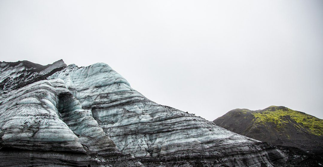
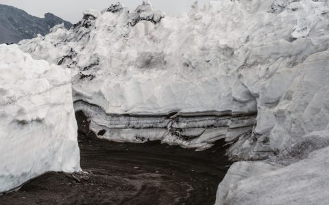
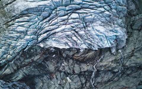
Permafrost is ground that remains at or below freezing for at least two consecutive years. It occurs in high-latitude and high-elevation regions, where frozen soil and sediment influence drainage, slope stability and carbon storage.
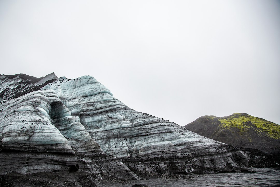
The science behind the subject
The active layer above permafrost thaws seasonally and refreezes. Ice-rich ground can settle when thawing changes its volume, while excess water may form wetlands or flow along the boundary between thawed and frozen material.
What the evidence can tell us
Researchers use boreholes, ground-temperature sensors, satellite imagery, geophysical surveys and field mapping. These methods track frozen-ground changes, surface subsidence and drainage patterns across landscapes that can be difficult to access.
A practical way to observe it
Field observations may include patterned ground, thaw slumps, thermokarst depressions and vegetation changes. These features need careful interpretation because similar forms can develop through different combinations of ice content, slope and hydrology.
Important limits and misconceptions
Permafrost varies greatly in thickness and ice content. A warm air temperature in one season does not prove that deep ground has thawed, and local conditions can differ substantially across short distances.
Why this matters
Permafrost links geology, climate and ecosystems. Changes in frozen ground can alter infrastructure conditions, river systems and the movement of carbon and nutrients through northern landscapes.
Putting local observations into context
A strong interpretation combines several independent clues rather than relying on one striking feature. Geological maps show how an exposure relates to the wider landscape, while mineral and sediment analysis can test explanations that are not visible to the eye. The best field notes make clear which details were measured, which were estimated and which remain uncertain.
From evidence to explanation
Geologists often compare competing explanations before settling on an interpretation. A feature may have more than one possible origin, and new measurements can change the preferred model. This is not a weakness: it is how Earth science improves, by making claims testable and revising them when additional evidence becomes available.
Questions for further study
Readers can extend this topic by comparing examples from different climates and tectonic settings. Ask whether the same process produces different landforms under different conditions, and whether a similar-looking feature could have formed by another mechanism. Regional geological surveys and university teaching resources provide useful maps and case studies.
Estimated reading time: 4–6 minutes.