q4WsCvLajdd4
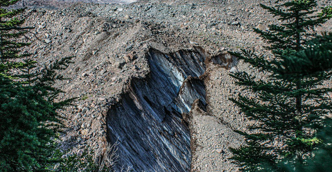
Rivers transport sediment of many sizes, from dissolved ions and fine clay to sand, gravel and large boulders. The material carried at a location depends on flow energy, channel shape, sediment supply and catchment geology.
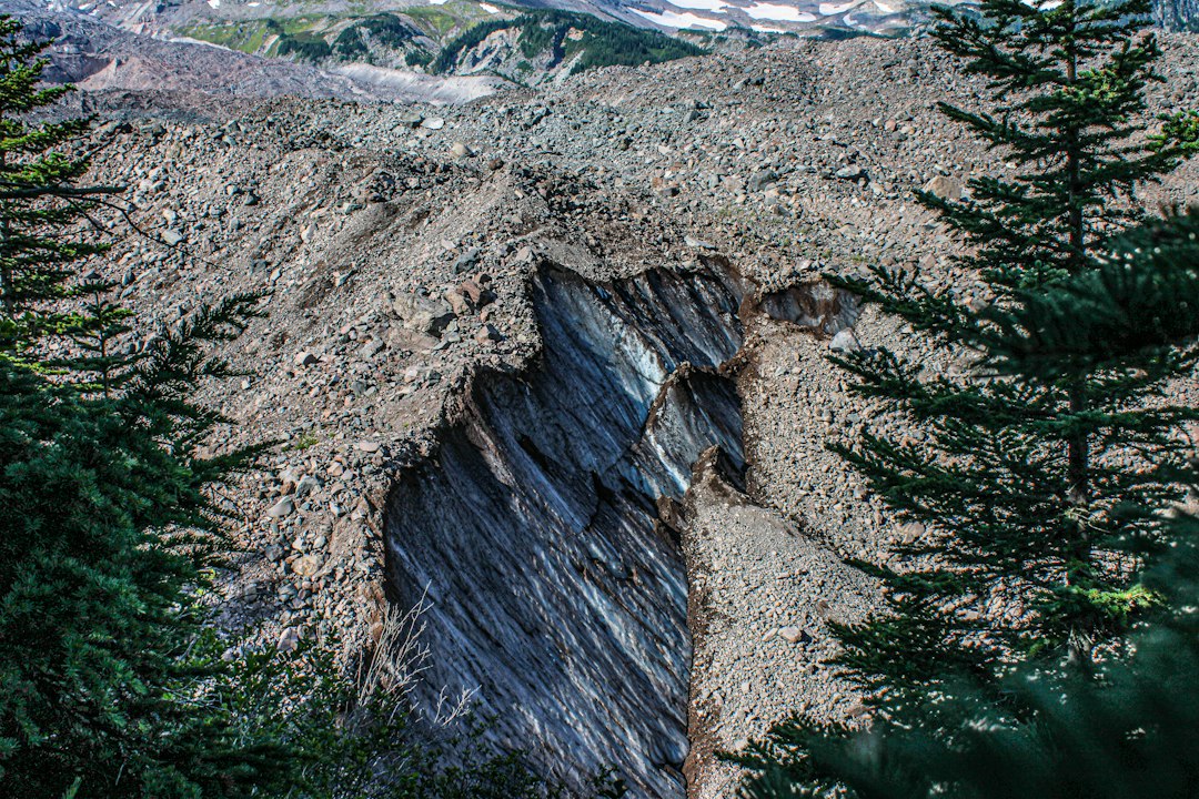
The science behind the subject
Fast currents can move larger particles, while slower water allows sand and mud to settle. During floods, a river may transport material that remains on the bed during ordinary flow, so grain size records changing hydraulic conditions.
What the evidence can tell us
Geologists measure grain-size distributions, sediment shape, channel geometry and flow conditions. Sampling across bars and floodplains reveals how sediment is sorted, while repeated surveys show how channels shift and store material over time.
A practical way to observe it
Record whether sediment is angular or rounded, well sorted or mixed, and whether it forms a bar, bank or floodplain layer. Note river stage because recent floods can change the evidence.
Important limits and misconceptions
A deposit may reflect one event rather than average river conditions. Grain size alone cannot provide a unique flow speed without assumptions about density, cohesion, channel shape and transport mode.
Why this matters
River sediment connects mountain erosion to floodplains, deltas and the ocean. Understanding how rivers sort and store material helps explain channel change, habitat formation and sedimentary basin development.
Putting local observations into context
A strong interpretation combines several independent clues rather than relying on one striking feature. Geological maps show how an exposure relates to the wider landscape, while mineral and sediment analysis can test explanations that are not visible to the eye. The best field notes make clear which details were measured, which were estimated and which remain uncertain.
From evidence to explanation
Geologists often compare competing explanations before settling on an interpretation. A feature may have more than one possible origin, and new measurements can change the preferred model. This is not a weakness: it is how Earth science improves, by making claims testable and revising them when additional evidence becomes available.
Questions for further study
Readers can extend this topic by comparing examples from different climates and tectonic settings. Ask whether the same process produces different landforms under different conditions, and whether a similar-looking feature could have formed by another mechanism. Regional geological surveys and university teaching resources provide useful maps and case studies.
Estimated reading time: 4–6 minutes.