q4WsCvLajdd4
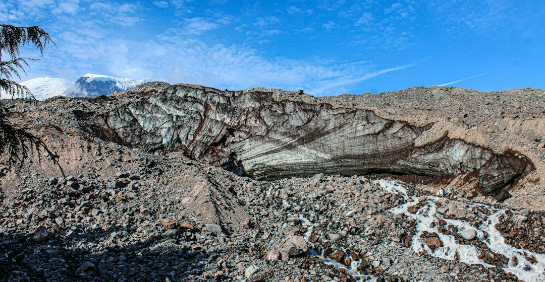
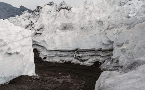
Soil develops where climate, organisms, topography, parent material and time interact. Its horizons preserve evidence of weathering, organic activity, water movement and the material from which the soil formed.
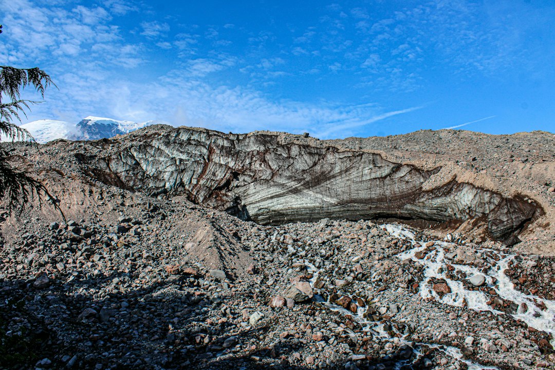
The science behind the subject
A profile may include an organic-rich surface, zones of mineral alteration, horizons where clay or iron accumulates, and less-weathered parent material below. Not every soil contains every horizon; drainage, slope and climate produce distinctive profiles.
What the evidence can tell us
Scientists describe colour, texture, structure, roots, carbonate accumulations and boundary shapes. Laboratory work measures grain size, mineralogy, acidity and organic carbon, allowing different soil-forming processes to be compared.
A practical way to observe it
Compare profiles across a slope and record horizon thickness, boundary shape and moisture. Describe what is visible before assigning a process, and note land use because cultivation or construction may have changed the original sequence.
Important limits and misconceptions
Colour alone cannot identify a soil process. A dark layer may reflect organic matter, drainage conditions or parent material, while similar-looking profiles can have different histories. Several exposures are needed for regional interpretation.
Why this matters
Soil is the interface between bedrock, water, air and life. Understanding its development helps explain slope stability, nutrient cycling, carbon storage and how rainfall enters or moves across a catchment.
Putting local observations into context
A strong interpretation combines several independent clues rather than relying on one striking feature. Geological maps show how an exposure relates to the wider landscape, while mineral and sediment analysis can test explanations that are not visible to the eye. The best field notes make clear which details were measured, which were estimated and which remain uncertain.
From evidence to explanation
Geologists often compare competing explanations before settling on an interpretation. A feature may have more than one possible origin, and new measurements can change the preferred model. This is not a weakness: it is how Earth science improves, by making claims testable and revising them when additional evidence becomes available.
Questions for further study
Readers can extend this topic by comparing examples from different climates and tectonic settings. Ask whether the same process produces different landforms under different conditions, and whether a similar-looking feature could have formed by another mechanism. Regional geological surveys and university teaching resources provide useful maps and case studies.
Estimated reading time: 4–6 minutes.