q4WsCvLajdd4
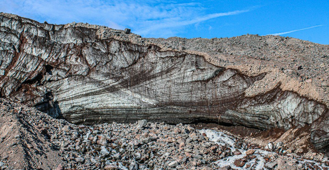
Weathering breaks down or alters rock in place, whereas erosion removes and transports material. The processes often operate together, but separating them helps geologists explain how cliffs, soils, valleys and sediment deposits develop.
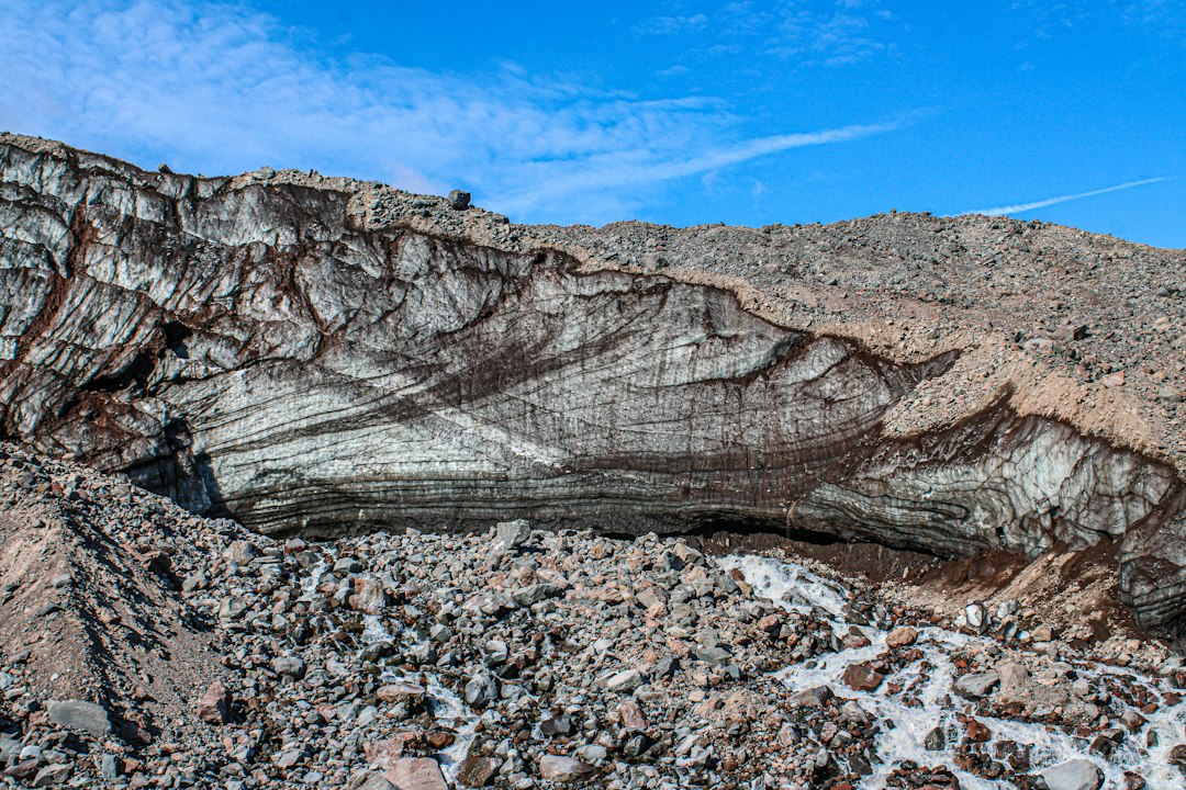
The science behind the subject
Physical weathering includes freeze-thaw action, salt crystal growth and unloading. Chemical weathering changes minerals through reactions with water, oxygen and weak acids. Erosion then moves loosened material through rivers, wind, ice, gravity or coastal currents.
What the evidence can tell us
Scientists examine grain shapes, mineral alteration, fracture patterns, slope form and sediment deposits. Weathering rinds can show alteration at a rock surface, while rounded river clasts may record transport and repeated collision downstream.
A practical way to observe it
Distinguish a rock fractured in place from a fragment that has travelled. Look for matching pieces, fresh surfaces, sediment sorting and the relationship between an exposure and nearby channels.
Important limits and misconceptions
The same rock can weather at different rates depending on climate, mineral composition, exposure and biological activity. Transport distance cannot always be inferred from roundness alone because source rock and flow energy also influence clast shape.
Why this matters
Weathering creates much of the sediment that erosion redistributes. Together they link bedrock to soils, river systems and sedimentary basins, making them essential to long-term landscape evolution.
Putting local observations into context
A strong interpretation combines several independent clues rather than relying on one striking feature. Geological maps show how an exposure relates to the wider landscape, while mineral and sediment analysis can test explanations that are not visible to the eye. The best field notes make clear which details were measured, which were estimated and which remain uncertain.
From evidence to explanation
Geologists often compare competing explanations before settling on an interpretation. A feature may have more than one possible origin, and new measurements can change the preferred model. This is not a weakness: it is how Earth science improves, by making claims testable and revising them when additional evidence becomes available.
Questions for further study
Readers can extend this topic by comparing examples from different climates and tectonic settings. Ask whether the same process produces different landforms under different conditions, and whether a similar-looking feature could have formed by another mechanism. Regional geological surveys and university teaching resources provide useful maps and case studies.
Estimated reading time: 4–6 minutes.