 q4WsCvLajdd4
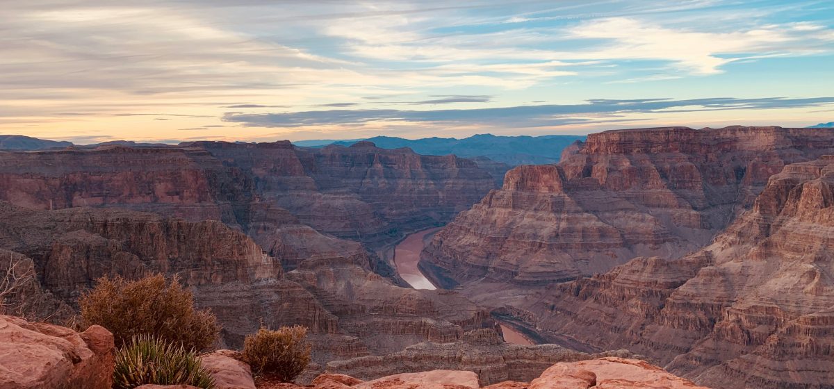
The dramatic canyons of the American Southwest are the result of several processes working over immense periods of time. The Colorado River and its tributaries have cut through layered sedimentary rocks, while tectonic uplift, climate variation and differences in rock strength have influenced the shape of the landscape.
A river working through a rising landscape
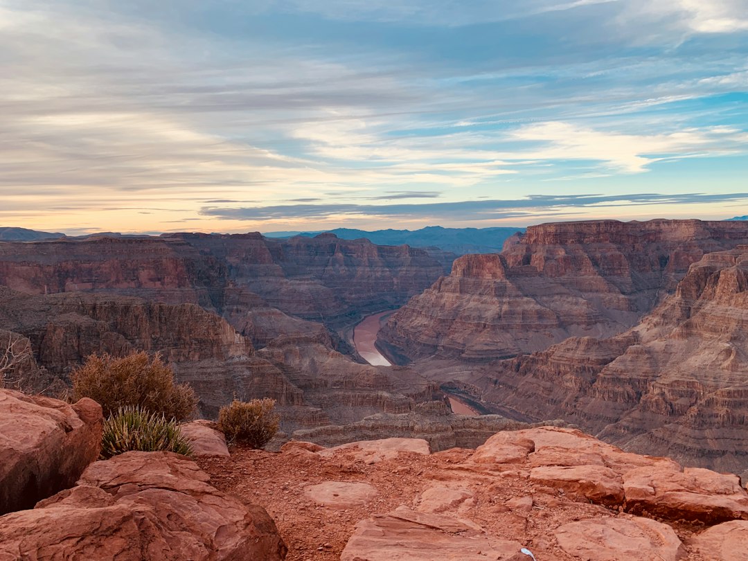
The Colorado Plateau contains broad areas of relatively flat-lying sedimentary rock that have been elevated over geological time. As the region rose, rivers gained greater potential energy and were able to cut downward through the rock sequence. The Colorado River became a major agent of erosion, transporting sediment away from the plateau and exposing layers that had once been buried.
Uplift did not happen as one simple event, and the river’s history is complex. Geologists investigate the timing and rate of incision using river deposits, terraces, cave deposits, volcanic materials and other dated features. The relationship between regional uplift and river erosion remains an active subject of research.
Why some layers form cliffs and others form slopes
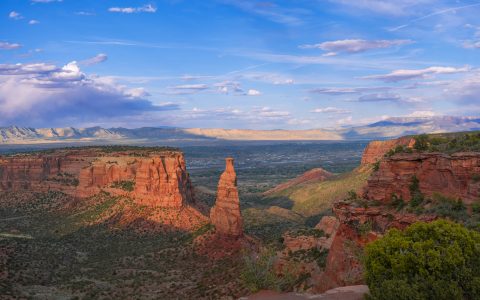
The rock sequence of the Southwest includes sandstone, limestone, shale and other sedimentary units. These rocks respond differently to weathering and erosion. Strong, well-cemented sandstone or limestone may form prominent cliffs, while weaker shale and mudstone often erode into gentler slopes.
This contrast creates the familiar stepped appearance of many canyon walls. Resistant beds form ledges or vertical faces, while softer units beneath them retreat more quickly. The result is not simply a river carving a uniform channel; it is an interaction between water, rock properties, fractures and gravity.
River terraces preserve former levels
Along some valleys, flat benches occur above the modern river. These features may be river terraces, remnants of older floodplains or valley floors that were left behind as the river cut downward. A terrace can preserve gravel, sand and silt deposited when the river flowed at a higher level.
By mapping terrace elevations and dating suitable deposits, geologists can reconstruct how a river changed through time. Multiple terrace levels may record repeated phases of deposition and incision. However, not every flat bench is a river terrace: landslides, resistant rock layers and other processes can produce similar shapes.
Climate influences water and sediment
River behaviour depends on more than the slope of the land. Rainfall, snowmelt, vegetation and sediment supply all influence discharge and erosion. Periods of intense runoff can move large quantities of gravel and sand, while long intervals of lower flow may allow sediment to accumulate in some parts of a valley.
In arid parts of the Southwest, brief storms can generate powerful runoff, especially where steep slopes and sparse vegetation concentrate water. Flash floods can transport sediment and reshape channels, although the long-term canyon landscape reflects many episodes of erosion rather than one event.
Climate changes can alter the balance between water and sediment. If a river receives more sediment than it can transport, bars and floodplains may build up. If transport capacity increases or sediment supply decreases, the channel may incise. These responses vary with local geology and basin conditions.
Fractures guide the shape of canyon walls
Joints and faults provide pathways for water and create planes of weakness in rock. Water entering fractures can promote chemical weathering and physical breakdown. Blocks may eventually separate along joints and fall from steep faces. The spacing and orientation of fractures can influence whether a cliff retreats as large blocks or as smaller fragments.
Geologists therefore examine both bedding and fractures when interpreting a canyon. Bedding records the original arrangement of sediment, while joints and faults may reflect later tectonic stresses or cooling. Their combined geometry helps explain the shape of cliffs, alcoves and narrow side canyons.
Reading a canyon as a geological record
A useful field interpretation begins with the sequence of rock units. Identify major changes in colour, grain size and resistance. Look for contacts, tilted beds, channels and evidence of past water movement. Then compare the exposure with a geological map and consider how the river could have transported sediment through the region.
It is important to observe canyon landscapes safely and responsibly. Use designated viewpoints and trails, follow park guidance and avoid unstable edges or closed areas. Photographs and notes can preserve valuable observations without disturbing fragile geological features.
A landscape shaped by connected processes
The Southwest’s canyons are not the product of a single force. Tectonic uplift helps establish the broad conditions for incision; rivers transport sediment; climate controls water and runoff; and rock strength and fractures influence how slopes retreat. Together, these processes turn a layered geological archive into a changing landscape.
Further reading: National Park Service — Grand Canyon geology; US Geological Survey.
Image: Tim Hart / Unsplash.