 q4WsCvLajdd4
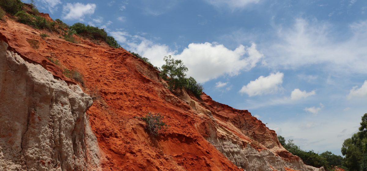
A rock exposure is more than a collection of layers. It is a record of sediment moving through rivers, deserts, lakes and seas, followed by burial, deformation and erosion. Learning to read an outcrop is one of the most useful skills on a geology field trip—and it begins with careful observation rather than quick identification.
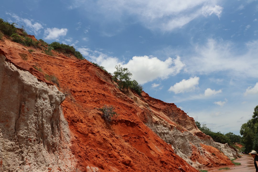
Begin with the whole exposure
Before examining individual grains, step back and look at the shape of the outcrop. Is it a continuous cliff, a low stream bank or a series of isolated blocks? Note the thickness of the visible rock sequence, the direction in which layers appear to run and whether the exposure is cut by a valley or slope. The wider setting can help explain why the rock is visible and whether weathering has removed or concealed parts of the sequence.
Make a simple sketch. Mark the base and top of the exposure, major changes in colour and any obvious breaks. A field sketch does not need to be artistic; its purpose is to preserve relationships that may be difficult to remember later.
Describe beds before naming them
Sedimentary rocks commonly occur in beds or layers. Record their thickness, colour, grain size and internal structures. A bed may be only a few centimetres thick or extend across several metres. Sandstone contains sand-sized grains, while siltstone and mudstone are made of finer particles that may be difficult to distinguish without a hand lens.
Grain size offers clues about transport, but it is not a complete environmental answer. Coarse sediment can accumulate in energetic rivers, near shorelines or in debris flows. Fine sediment may settle in lakes, floodplains, offshore marine settings or quiet parts of a river system. The surrounding structures and relationships are needed to narrow the interpretation.
Look for sedimentary structures
Cross-bedding is formed when ripples or dunes migrate and leave inclined layers behind. It can indicate the direction of sediment transport, although the original flow direction must be interpreted from the geometry of the preserved sets. Ripple marks may form under moving water or wind. Mud cracks can develop when wet, fine-grained sediment dries and contracts, suggesting periodic exposure to air.
Graded bedding, in which grain size changes vertically through a bed, can record a waning flow. A bed that becomes finer upward may have formed as a current lost energy and deposited its coarser load first. These features are valuable, but one structure alone rarely identifies a complete environment.
Follow the contacts between layers
Contacts are the boundaries between beds or rock units. Some are sharp, while others are gradual. A sharp base that cuts into underlying layers may represent erosion by a channel or current. A gradual transition can indicate a slow change in sediment supply or water conditions. Look for evidence that a younger bed fills a depression in an older one, or that a surface was exposed and weathered before burial resumed.
Not every visible line is bedding. Joints, faults and mineral veins can cross-cut sedimentary layers. A fault may offset beds; a joint may split the rock without measurable displacement; a vein may fill an older fracture with minerals. Record the geometry before assigning a name.
Connect the outcrop to the landscape
Compare the exposure with a geological map and note nearby streams, ridges and changes in slope. Resistant sandstone may form cliffs, while weaker mudstone can weather into gentler slopes. Bedding orientation and fractures can influence drainage and the shape of valleys. Regional mapping helps place a single exposure within a larger sequence of rock units.
Build a defensible interpretation
A useful field record separates observation from interpretation. “Thin, fine-grained beds with ripple marks” is an observation. “Deposited in a shallow-water setting” is an interpretation that should be tested against other evidence. Photograph the outcrop from a safe, permitted viewpoint, include a scale where possible and record uncertainty rather than forcing a conclusion.
Responsible fieldwork matters as much as good notes. Follow site rules, remain on marked routes where required, avoid unstable slopes and leave protected rocks and fossils undisturbed. A careful description can be scientifically valuable without collecting a specimen.
The value of reading rocks in place
Field geology brings together texture, structure, topography and time. Each layer is evidence, but its meaning emerges from the relationship with the layers around it. By observing first, describing precisely and interpreting cautiously, students can turn an ordinary outcrop into a record of changing environments and geological processes.
Further reading: British Geological Survey — geological maps and introductory Earth science resources.
Image: Klaus G / Unsplash.