A River-Channel Field Transect: Linking Sediment to Flow
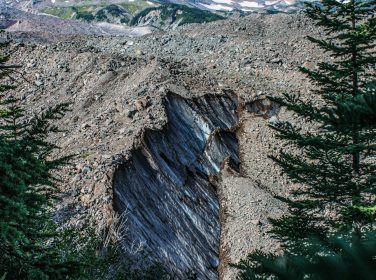
A river transect is a structured way to observe how channel form and sediment change from one bank to the other. It links visible landforms with the m
Fossils are most informative when their geological context is recorded. The position of a fossil within a bed, its relationship to other fossils and t
Bedding records the layering of sedimentary rocks and provides a reference for reconstructing how strata were deposited and later deformed. Its orient
A geological map shows the distribution of rock units and structures at or near the Earth's surface. Its colours are not decoration: they represent ma
A field notebook is more than a diary of a trip: it is the record that allows observations to be checked, compared and interpreted after the landscape
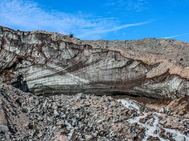
Rivers transport sediment of many sizes, from dissolved ions and fine clay to sand, gravel and large boulders. The material carried at a location depe
The water cycle links the atmosphere, surface water, soil, groundwater and oceans. Geology influences where water infiltrates, how it is stored, and h
Weathering breaks down or alters rock in place, whereas erosion removes and transports material. The processes often operate together, but separating
Coastlines are dynamic boundaries shaped by waves, tides, currents, sediment supply and sea-level change. Erosion occurs when material is removed fast
Learn how aquifers store and transmit groundwater through pores, fractures and connected geological formations.