 q4WsCvLajdd4
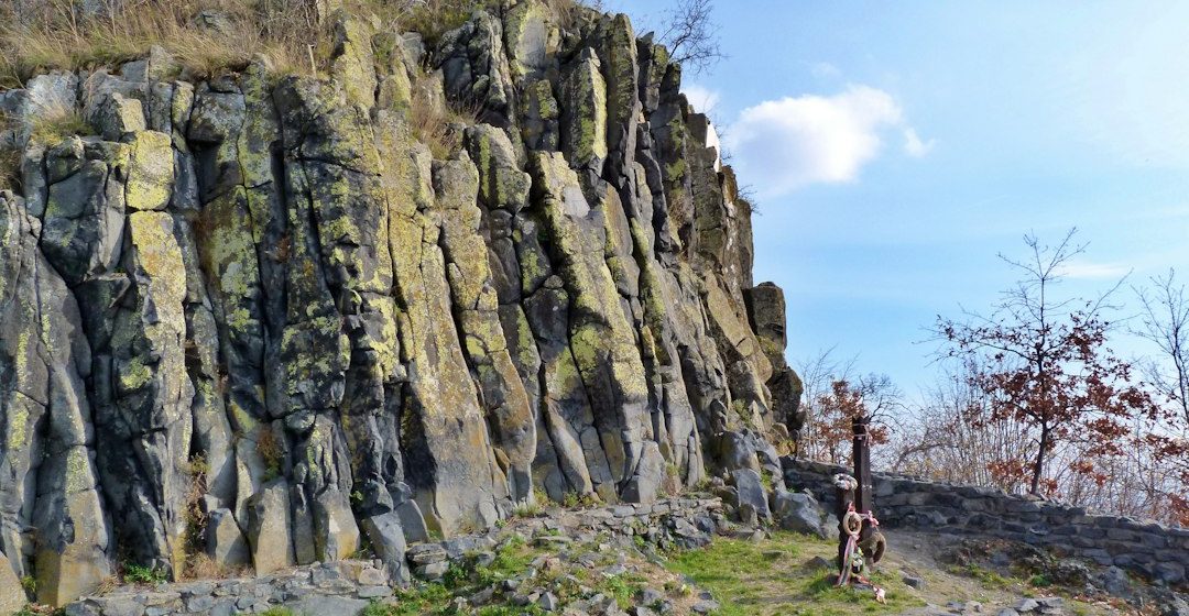
A rock outcrop can seem confusing at first: layers, fractures, colour changes and scattered fragments may appear to have no obvious order. The purpose of a geology field trip is to make those details meaningful. Rather than trying to identify every rock immediately, begin with a repeatable sequence of observations.
1. Start with the setting
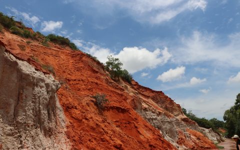
Before approaching the exposure, look at the wider landscape. Is the outcrop part of a hillside, river cut, coastal cliff or road cutting? Note its orientation, slope and relationship to nearby landforms. The setting can influence which rocks are exposed and how weathering has altered them.
Record the location and, where appropriate, the outcrop’s approximate dimensions. A photograph with a scale object can preserve context, but it should complement written notes rather than replace them.
2. Identify the main rock material
Describe what you can see before assigning a formal name. Is the rock made of visible grains, crystals, shell fragments or a fine matrix? Are the grains rounded or angular? Do they appear similar in size? In sedimentary rocks, these observations help distinguish conglomerate, sandstone, siltstone and mudstone. In igneous rocks, crystal size and texture provide clues about cooling history.
Colour is useful but should be treated cautiously. Weathering, staining and mineral alteration can change the surface appearance, so a fresh surface may look different from the exposed exterior.
3. Follow the layers and structures
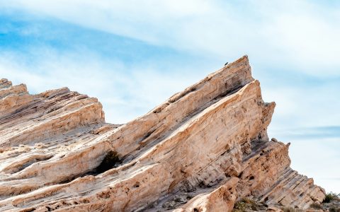
In layered rocks, examine bedding thickness, grain-size changes and internal structures. Cross-bedding can indicate migrating dunes or ripples; graded beds may record sediment settling from a waning flow. Mud cracks can suggest that wet sediment was exposed to air, although similar patterns can form in more than one setting.
Measure the orientation of bedding where you have the training and equipment to do so. Strike and dip measurements help establish whether layers are horizontal, tilted or folded. Look for changes across the exposure rather than relying on a single measurement.
4. Look for boundaries and contacts
Contacts between rock units can be sharp, gradual, irregular or erosional. A sharp boundary may mark a sudden change in deposition, while a weathered surface or an erosional contact can represent a period of missing geological time. If younger layers rest at a different angle from older rocks, the relationship may be an angular unconformity.
Ask whether the contact can be traced laterally. A boundary that appears clear in one small area may become harder to interpret elsewhere.
5. Notice fractures, faults and folds
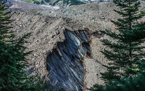
Joints are fractures along which there has been little or no visible displacement. Faults involve movement, and the offset of a recognisable layer can help reveal that movement. Folds bend rock layers and may range from broad gentle curves to tight structures.
Do not assume every crack is a fault. Look for evidence such as displaced beds, polished surfaces, repeated layers or crushed rock. Sketching the relationships is often more useful than writing down a long list of feature names.
6. Build an interpretation, then test it
Once observations are recorded, consider what sequence of events could explain them. For example, sandstone with cross-bedding may indicate migrating sediment dunes, while a fine mudstone above it could represent quieter water. A later fracture cutting both units must be younger than the rocks it affects.
Separate observations from interpretations in your notebook. “A 20-centimetre sandstone bed with inclined internal layers” is an observation; “a river channel deposit” is an interpretation that needs supporting evidence.
Leave the site responsibly
Follow access rules, stay clear of unstable slopes and traffic, and avoid collecting samples where it is prohibited. Photograph and document features rather than damaging an exposure. A good field record should allow another person to understand what you observed and how you reached your conclusions.
From looking to geological thinking
These six clues create a practical framework for almost any field stop. The strongest interpretations emerge when rock type, structures, contacts and landscape context are considered together. Field geology is not simply naming rocks; it is learning to reconstruct a sequence of events from evidence preserved in the landscape.
Image: Geological outcrop. Image credit: Attila Pál / Unsplash.