 q4WsCvLajdd4
A river valley is never truly finished. Even when a river appears to follow a stable course, the balance between water, sediment, rock uplift and climate is continually changing. One of the clearest records of that change is a river terrace: a relatively flat bench of former valley floor left above the river’s modern channel.
What exactly is a river terrace?
Imagine a river flowing across a broad floodplain. During floods, it spreads sediment across the valley floor and gradually builds a low, flat surface. If the river later cuts downward into its own deposits or into the underlying bedrock, the old floodplain is abandoned. It remains as a step along the valley side. A sequence of steps can record several episodes of valley-floor formation and incision.
How rivers switch from building to cutting
Rivers transport sediment supplied by hillslopes, tributaries and eroding banks. When a river has enough energy to carry its sediment load, it may erode its bed. When energy falls, sediment is deposited. Changes in discharge, sediment supply, channel gradient and base level can shift this balance.
Base level is the lowest level to which a river can erode. For a river reaching the sea, sea level is an important control; for an inland tributary, the level of the receiving river or lake may matter more. A fall in base level can encourage a river to incise upstream. Tectonic uplift can have a similar effect by increasing the river’s gradient relative to its outlet.
Climate leaves a complicated signal
Climate affects both water and sediment. Wetter conditions can increase discharge and floods, while changes in vegetation influence how easily soil and rock fragments reach channels. In cold environments, glacial meltwater can deliver large volumes of sediment. A river may therefore aggrade, or build up its bed, during one interval and incise during another.
Importantly, a terrace is not a simple rainfall gauge. The same climatic shift can produce different responses in different catchments because geology, valley shape, vegetation and sediment availability vary. Geologists compare several lines of evidence rather than assigning every terrace to a single cause.
How geologists read the steps
Field observations begin with mapping terrace elevations and tracing surfaces along the valley. Researchers describe the deposits: rounded river gravels, sand layers, fine overbank mud and any buried soils. Grain size and sediment structures can reveal whether material was transported by a fast channel, a quieter floodplain or a temporary lake.
Dating methods help establish when a deposit formed. Depending on the material and age, scientists may use radiocarbon dating of organic remains, optically stimulated luminescence to estimate when mineral grains were last exposed to sunlight, or cosmogenic nuclides to investigate how long a surface has been exposed. Each method has limits, so cross-checking is valuable.
Why terrace patterns matter
Terraces help reconstruct river response to uplift, climate and changing base level. They can also reveal how landscapes evolve over thousands to millions of years. A staircase of surfaces may look like a simple set of benches, but each level is a snapshot of an earlier river system.
For students and field observers, the key is to look beyond the shape. Ask what the surface is made of, how it relates to the modern channel, whether it continues around the valley, and what evidence could establish its age. Those questions turn a landscape feature into a geological record.
A landscape written in steps
River terraces show that valleys are dynamic systems. Their surfaces preserve the interplay of flowing water, sediment, climate and tectonic movement. Read carefully, they offer a way to understand not only where a river once flowed, but how the wider landscape changed around it.
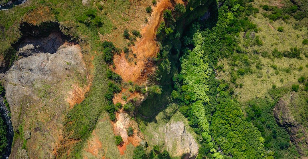
Image: Earth surface and landscape patterns. Image credit: Spencer Watson / Unsplash.